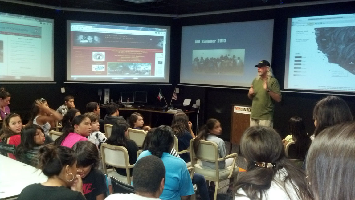
AIR Summer Program 2013
Cultural Preservation is so important to our Tribal Communities. In most instances our Native cultures are vastly diminished when our lands, artifacts, and people are taken from our Tribal Nations. In the specific case of land, the basic understanding of our Native cultures are rooted in understanding our land based territories and overall environment. Many of our Native cultures look at land in discussion of our creation stories and history.
With this understanding that land is a fundamental ideal for our Native cultures, the loss of land is also a great loss to our Tribal Nations and their views on identity, culture and history. To further complicate this ideal is the fact that our histories are mostly oral and where land is lost, it takes an even greater loss to the very fabric of who we are within our Tribes.
Mapping can be used as a tool to help our Tribal Nations understand where we are at in history and how to map and keep our historical sites preserved. Here the caveat is, we must guard our sacred sites and must understand why we should be very careful in disclosing these sites to the outside world (and especially when we document these areas via mapping). We must understand all aspects of the tools of success and the potential damage it could have. We be conscious of our cultural sites and the importance to retain our own histor-ical legacy by protecting our lands through mapping.
So this summer was of great interest to our students in viewing this project that has so many implications that are historical, that has contemporary issues in protection of these sites, and how this great tool can be used to aid our Tribal Nations.
|
|
|
| |
|
|
Meeting 1 (SDSU-AIR Start) |
|
|
|
|
|
|
|
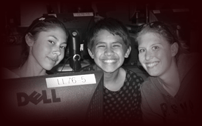
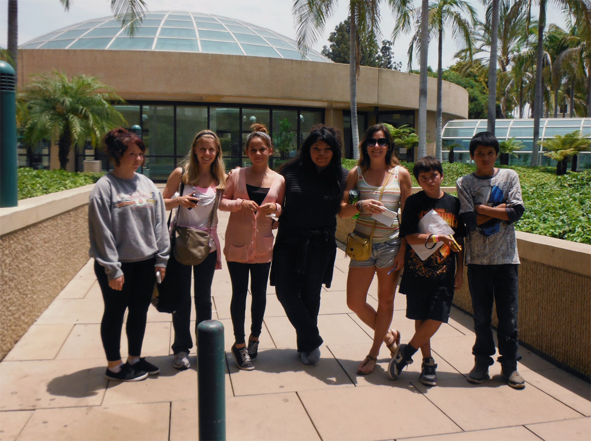
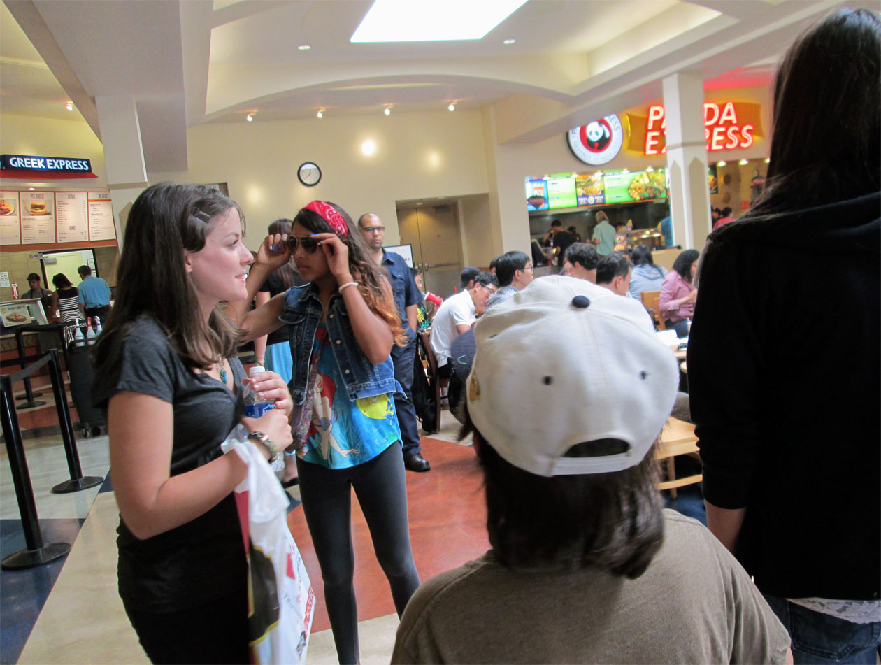
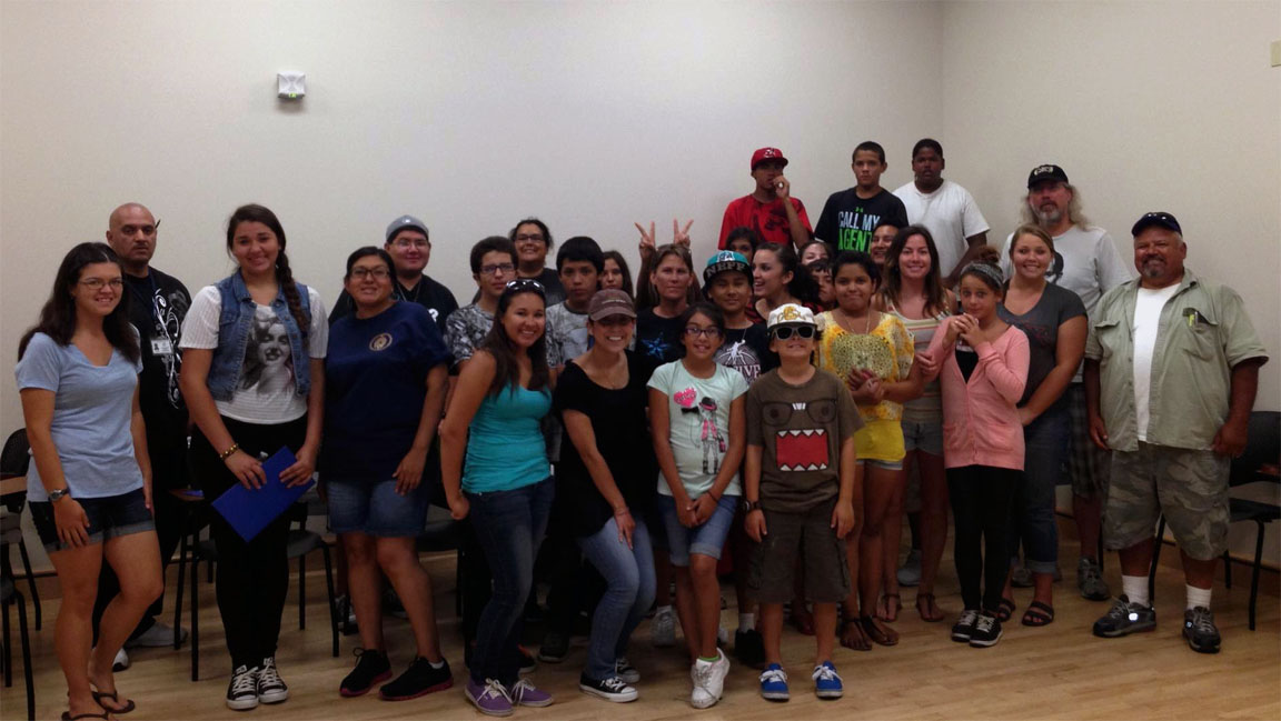
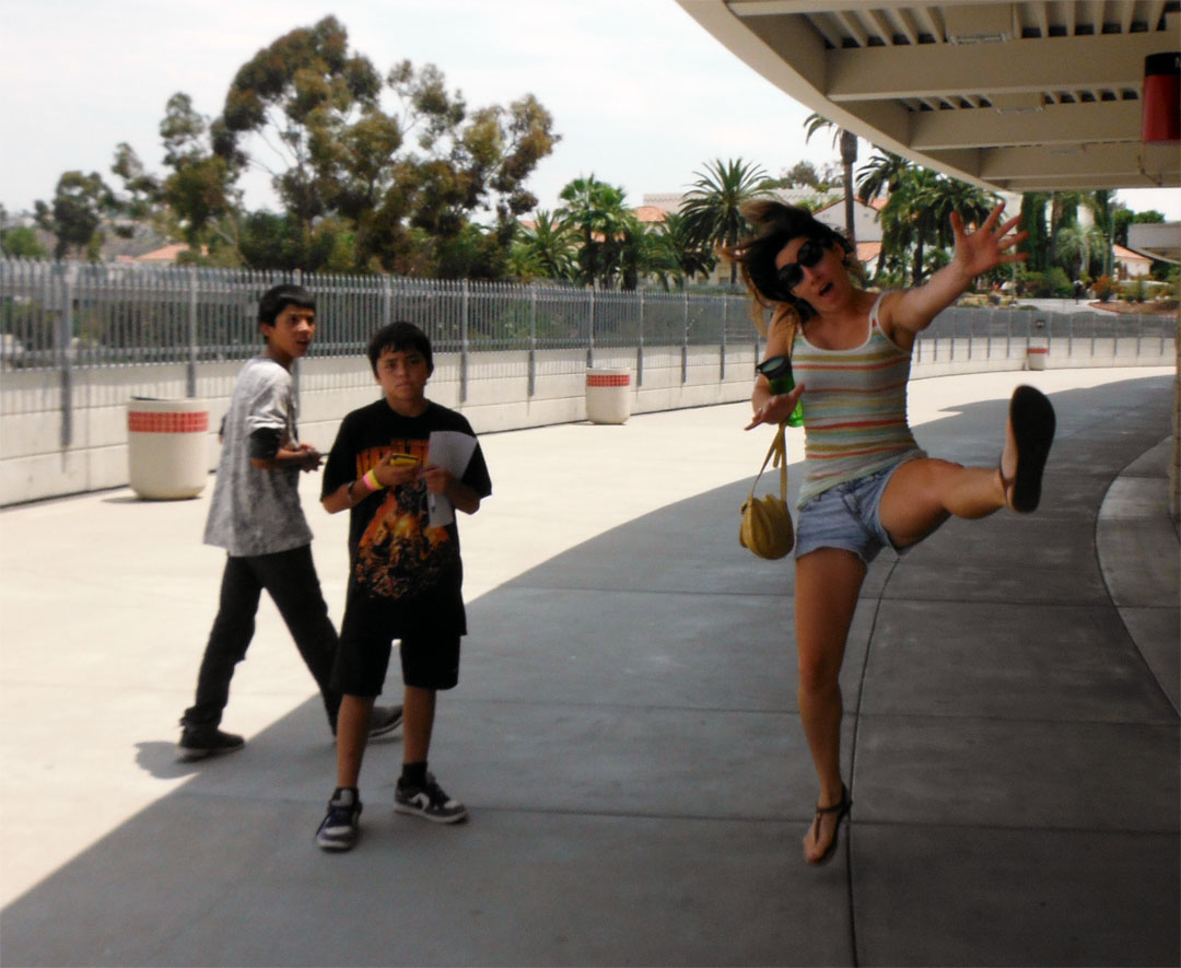
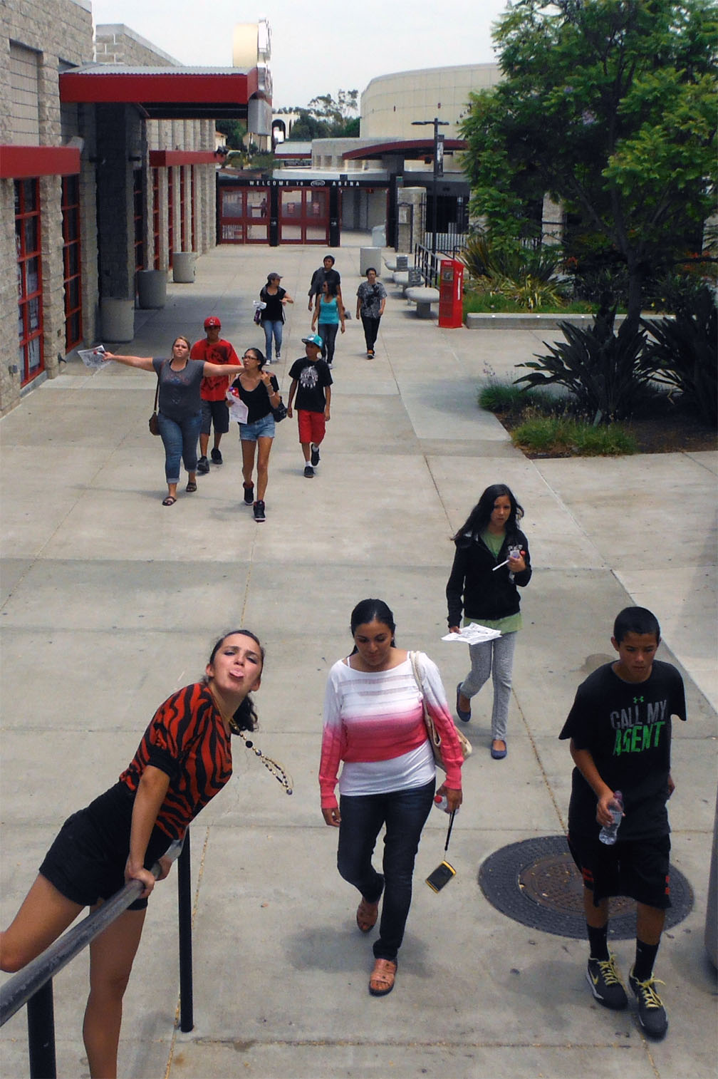
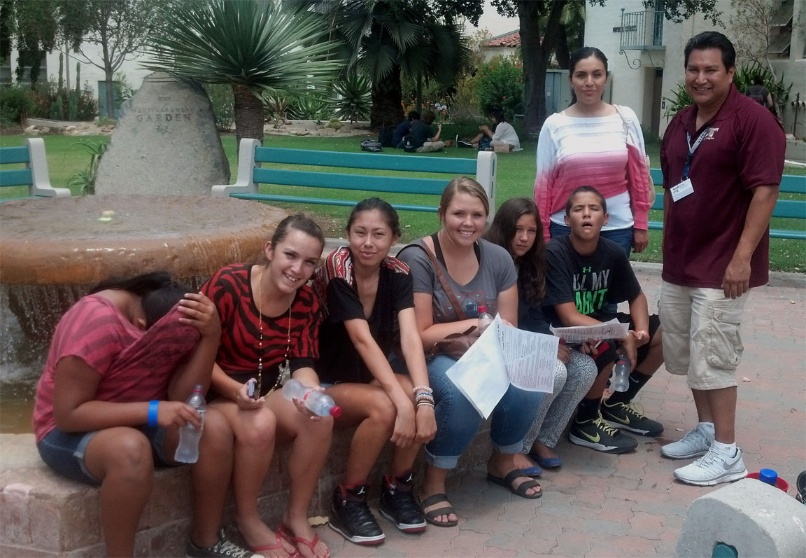
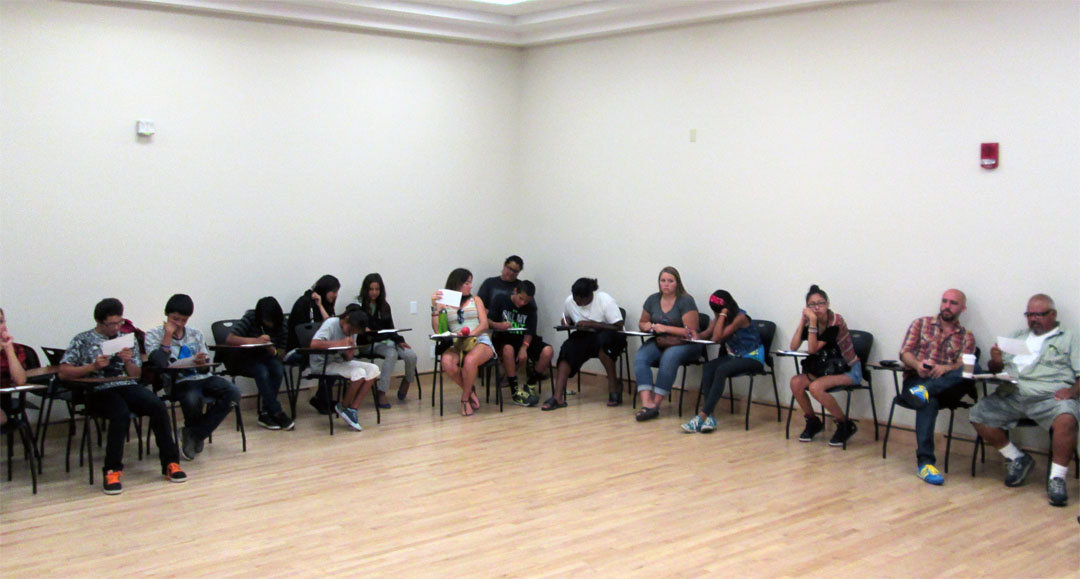
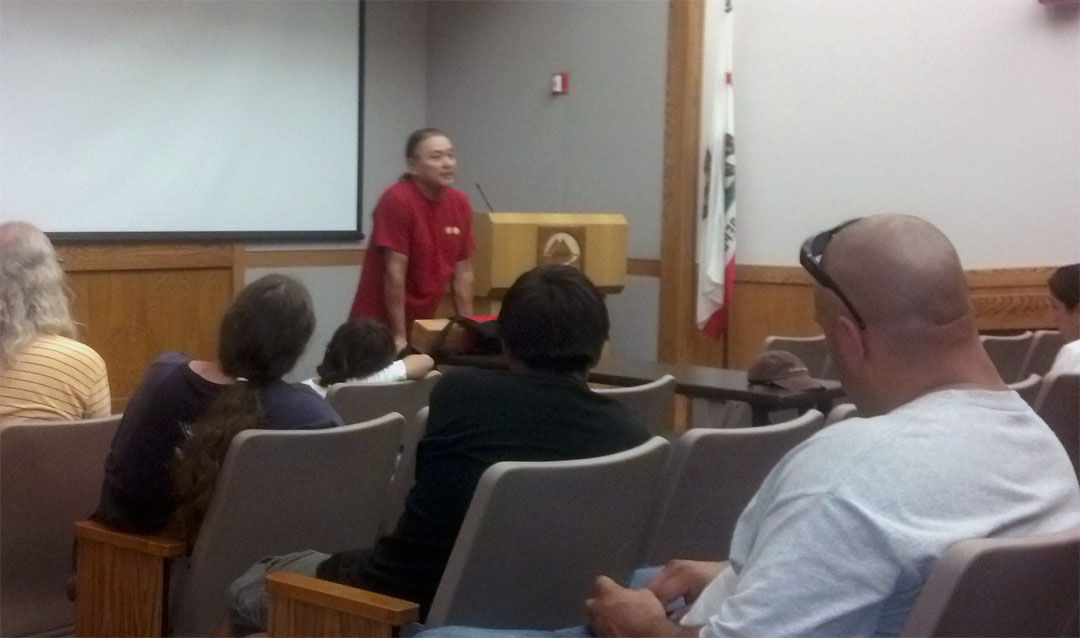
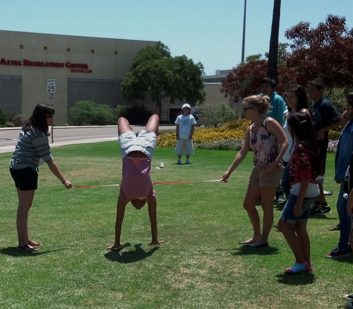
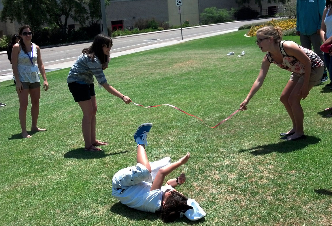
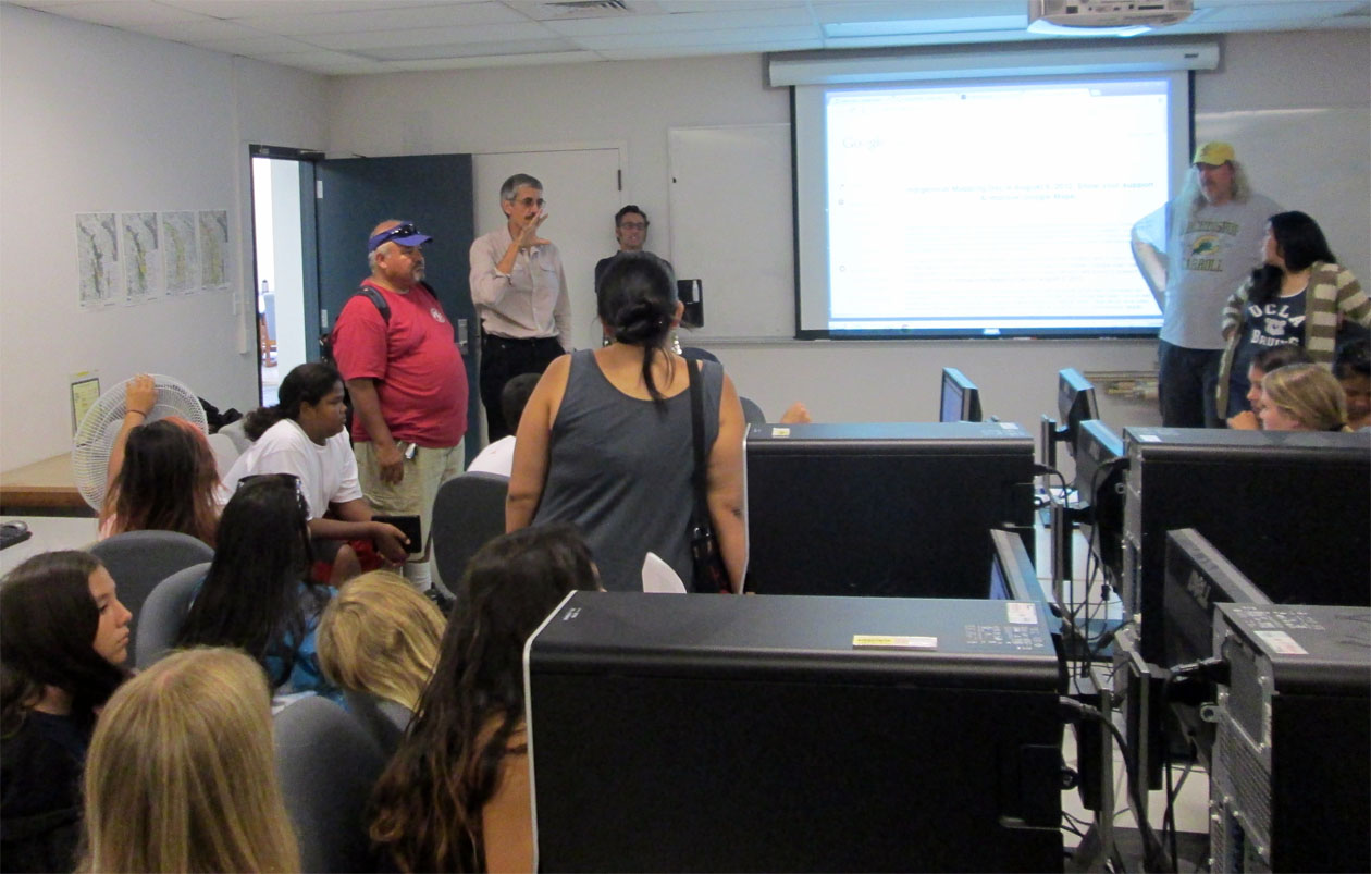
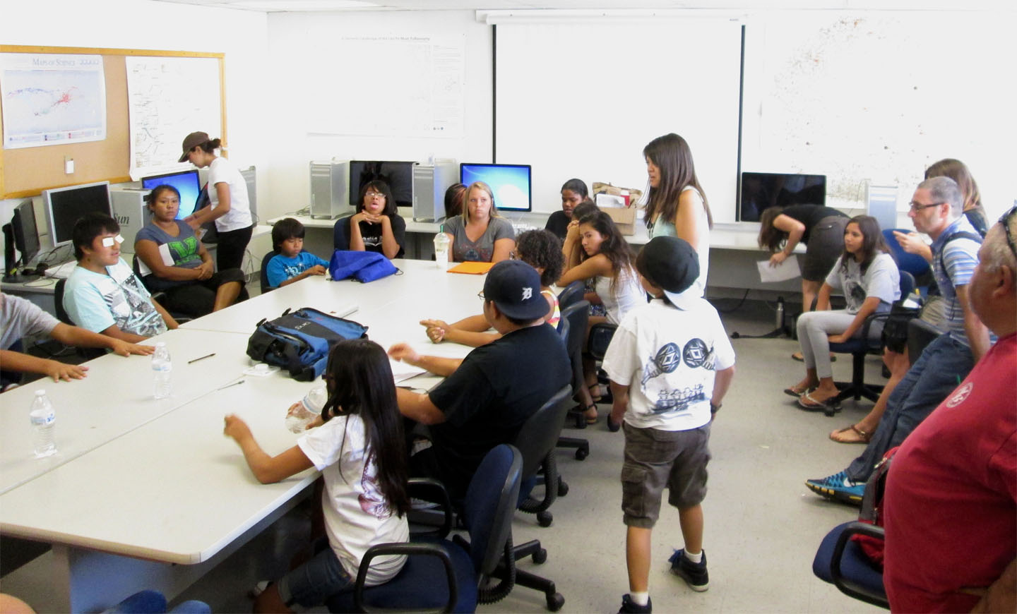
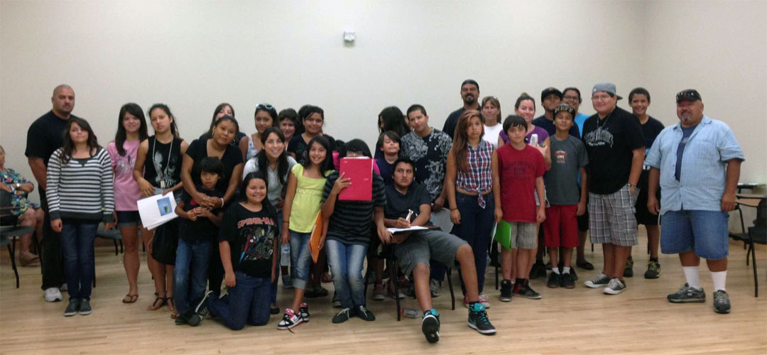
Meeting 1: San Diego State University
Culture and Community
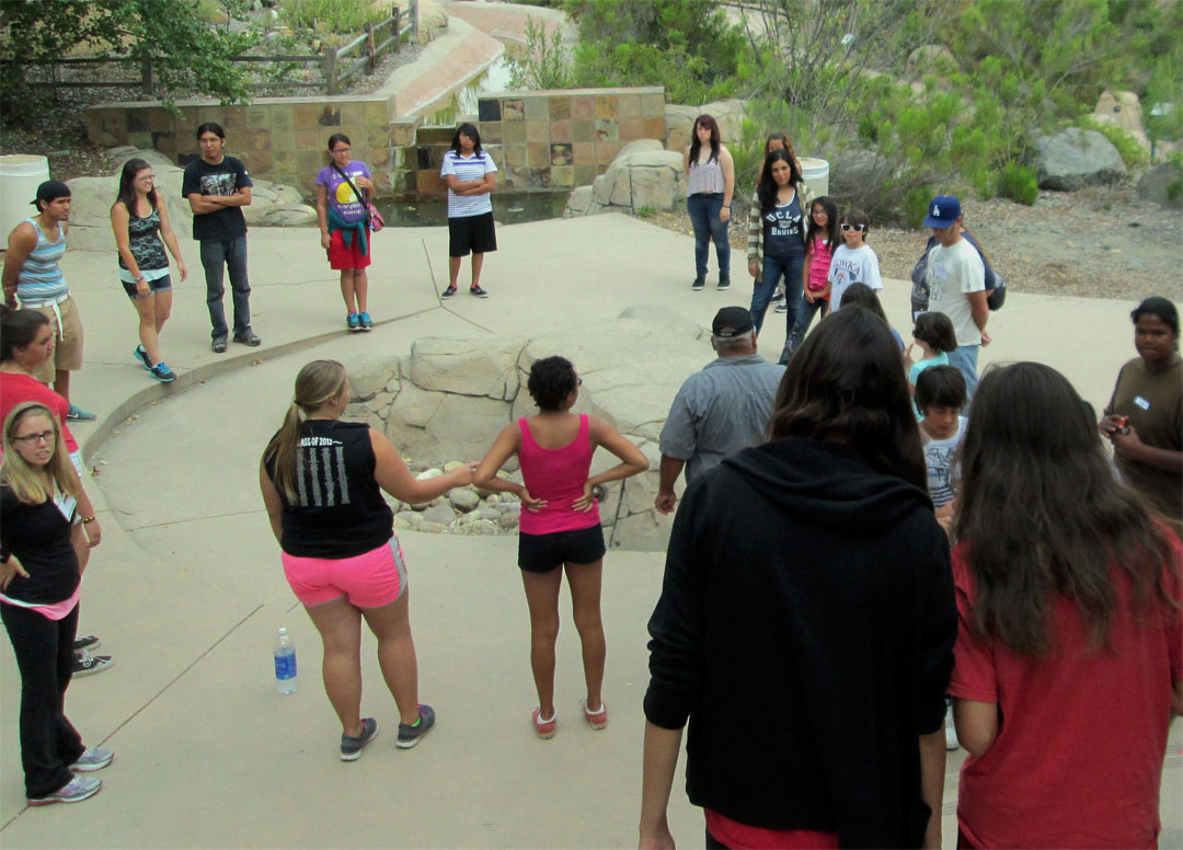
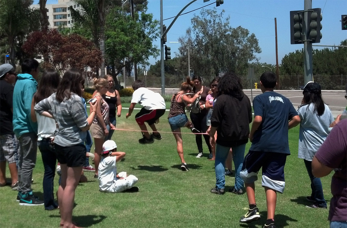
Overall we believe that a person with stronger cultural identity is more inclined to be empowered to excel in academics and in their personal lives. Cultural identity comes in many forms, it comes from our ceremonies, cultural artifacts, prayer, and much more. In the case of Indian Country it also comes from family and community. In an effort to create our community we started our program to introduce our students and mentors to each other through a series teamwork exercises that will continue throughout the summer.
Many times, these methods don’t have to be fancy but do have to have the ideals friendships and motivation to accomplish our community and the beginning of friendships with one another. On this day we had a scavenger hunt that had our students exploring the campus (somewhat on their own with help from our mentors) and an overall introduction to our program. |
|
|
|
|
|
|
|
|
|
|
| |
|
|
|
|
|
| |
|
|
Meeting 2 (Mission Trails) |
|
|
|
|
|
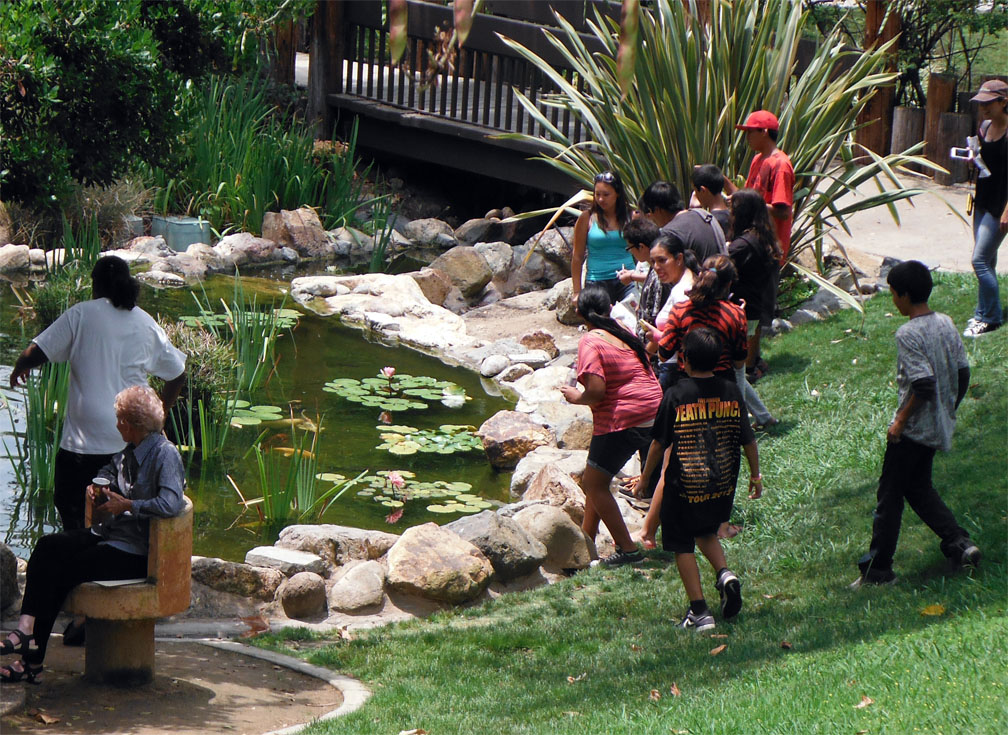
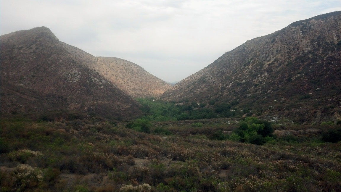
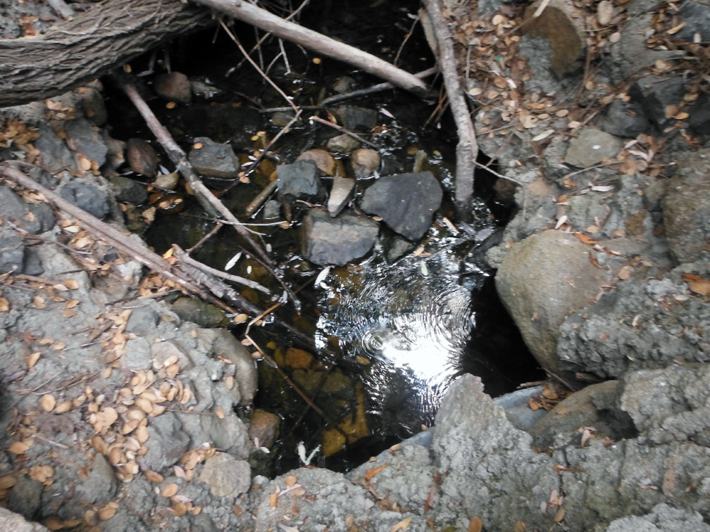
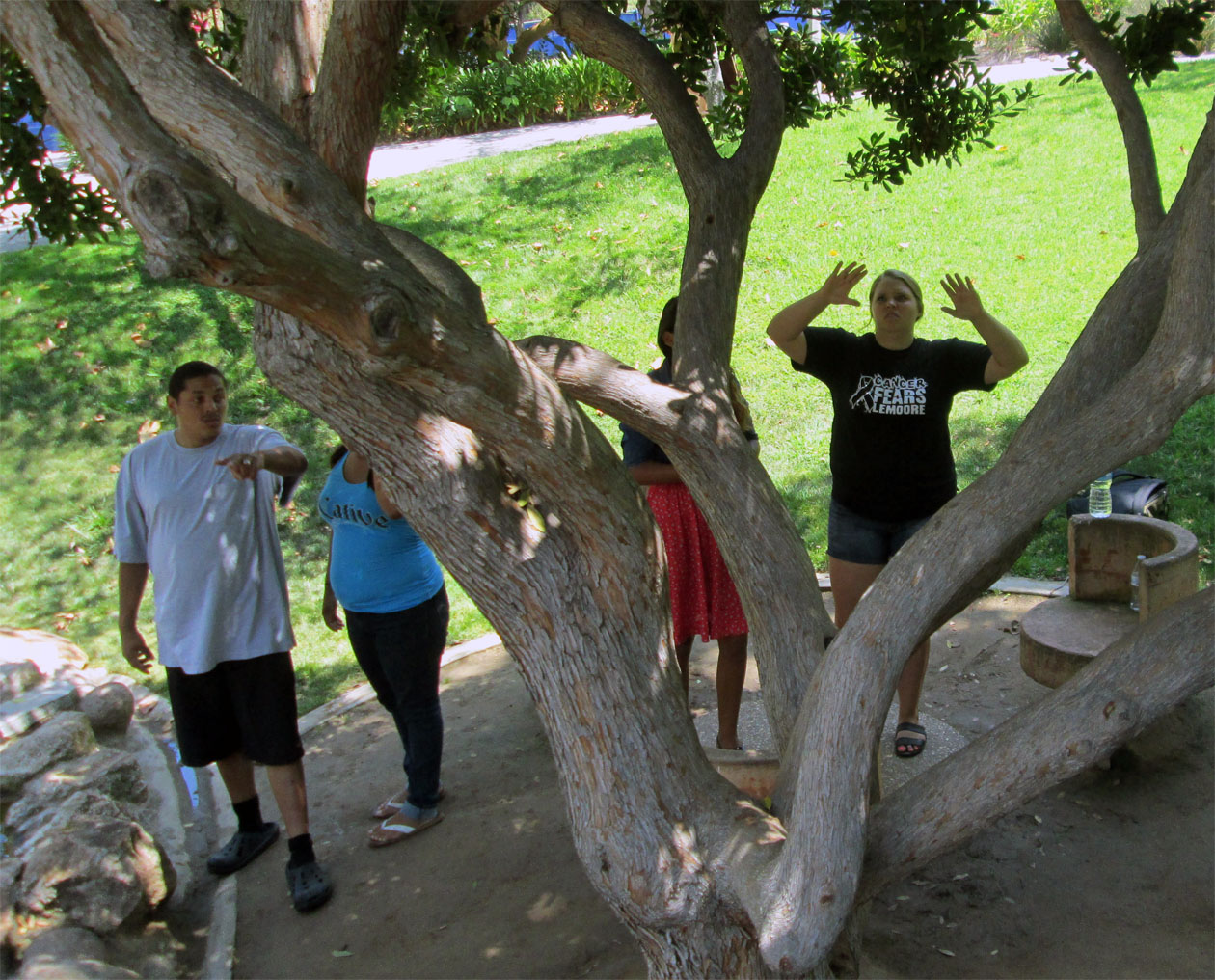
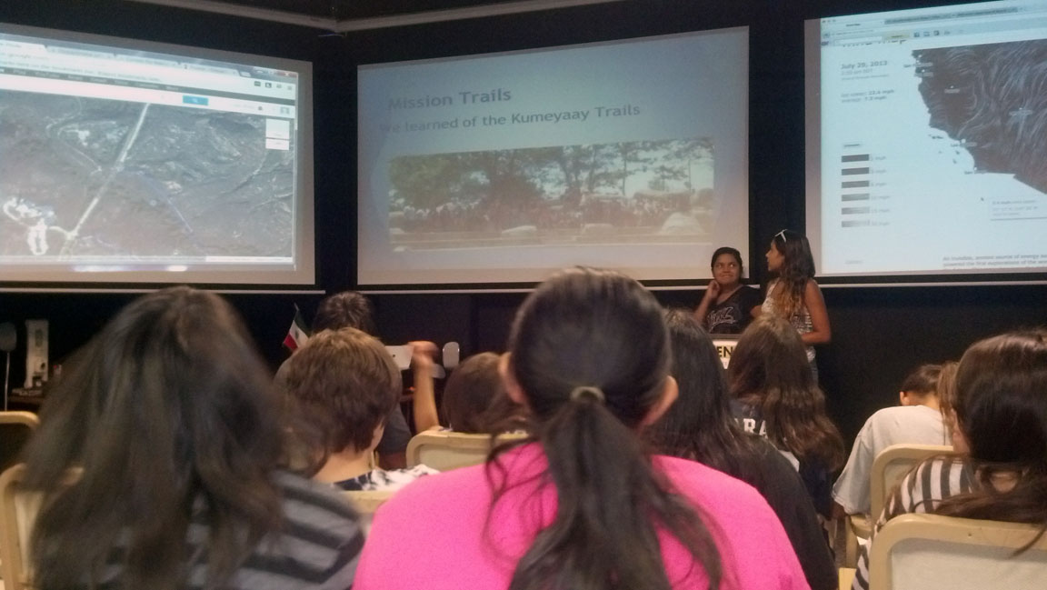
Meeting 2: San Diego-Mission Trails Regional Park
Within our first meeting we were introduced to various concepts of mapping and the equipment that we can use. This led us to using gps equipment at Mission Trails Regional Park which has a rich Native American Past (Kumeyaay).
Using what we learned from our first meeting we took various GPS readings and developed a greater iidea of using maps and creating them. We sent out teams to hike different trails using GPS and/or google maps (via computer or phone) to find various areas and to map their hike.
After our hike we heard from Mr. Clint Linton (Iipay Nation of Santa Ysabel, Tribal Member) and Mr. Larry Banegas (Barona Band of Mission Indians, Tribal Member) on the significance of the region. As stated in our introduction most our Native histories are oral and references are often made towards land. We discussed these concepts of oral tradition and how it integrated many of the geographic locations. |
|
|
| |
|
|
|
|
|
| |
|
|
|
|
|
| |
|
|
|
|
|
| |
|
|
Meeting 3 (SDSU-Mapping Exercise) |
|
|
| |
|
|
|
|
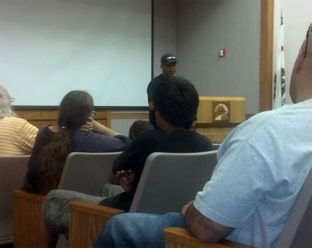
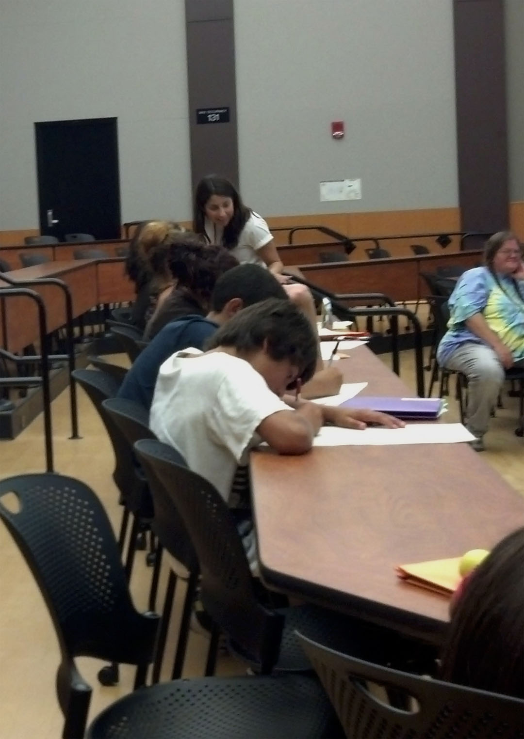
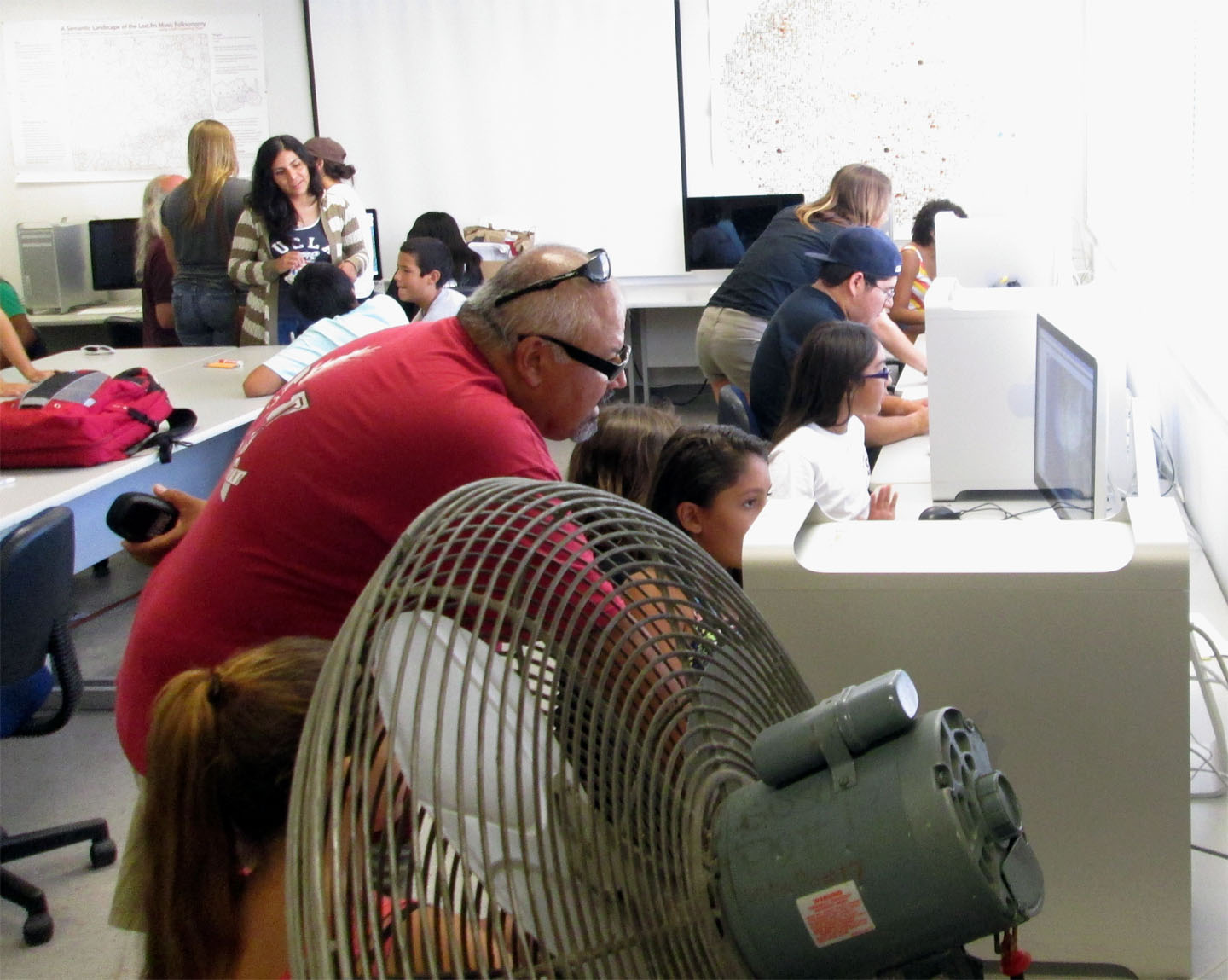
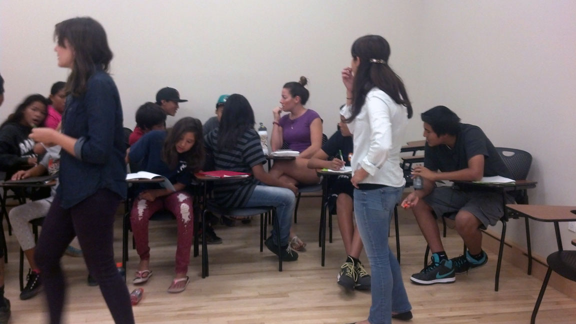
Meeting 3: At San Diego State University
We try to include many things in our meetings. Here, we inintiated a mini-workshop that covered the overall “game plan” where our students learned about requirements they must have to qualify for the UC or CSU system.
Futher, we continued on in having our students develop socialization with our mentors and each other. This is the ideal that we start developing an overall network with each other.
Finally, we took all our information from the past meetings and started to develop the overall idea of mapping and how we are going to approach this. It is great to see that our students are very familiar with their communities and how they are able to understand these concepts of mapping.
|
| |
|
|
|
|
|
| |
|
|
|
|
|
| |
|
|
| Meeting 4 (Torrey Pines Regional Park) |
|
|
| |
|
|
|
|
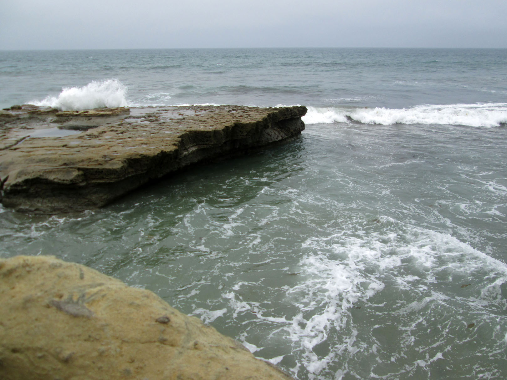
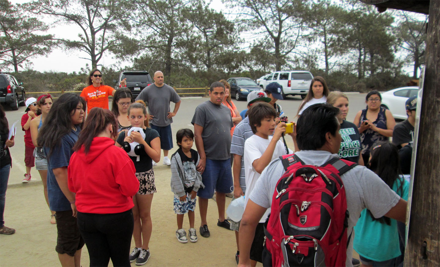
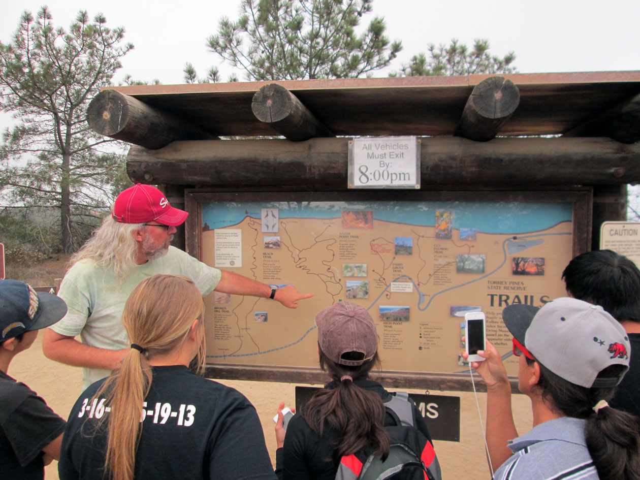
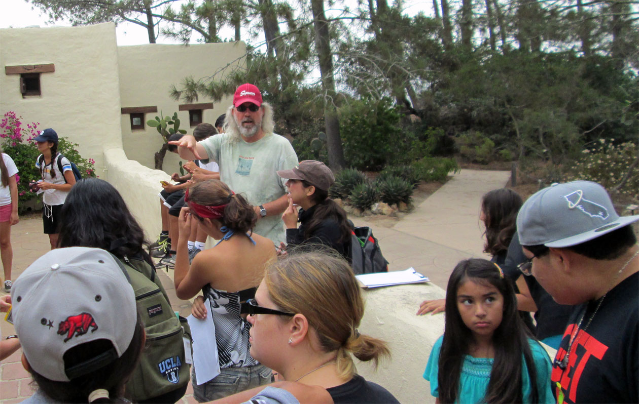
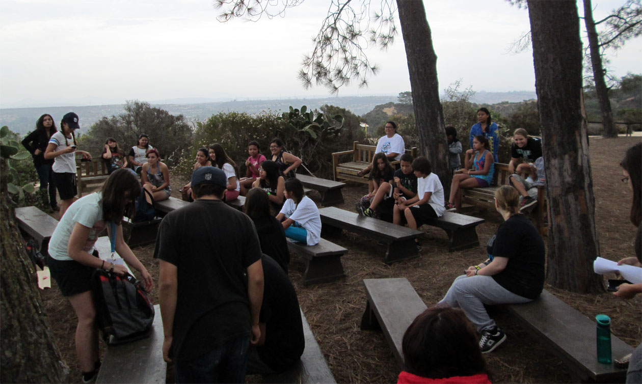
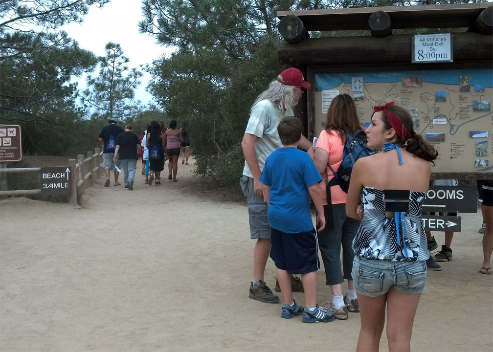
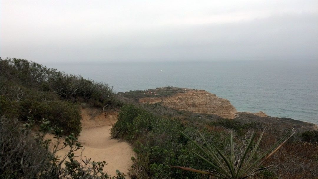
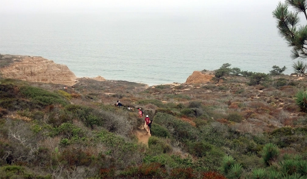
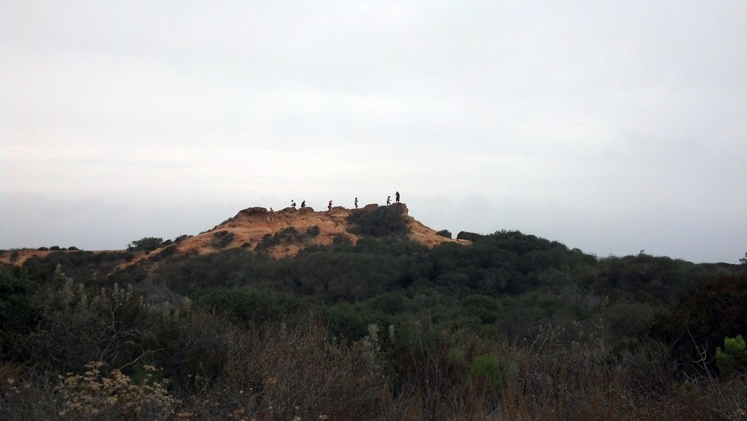
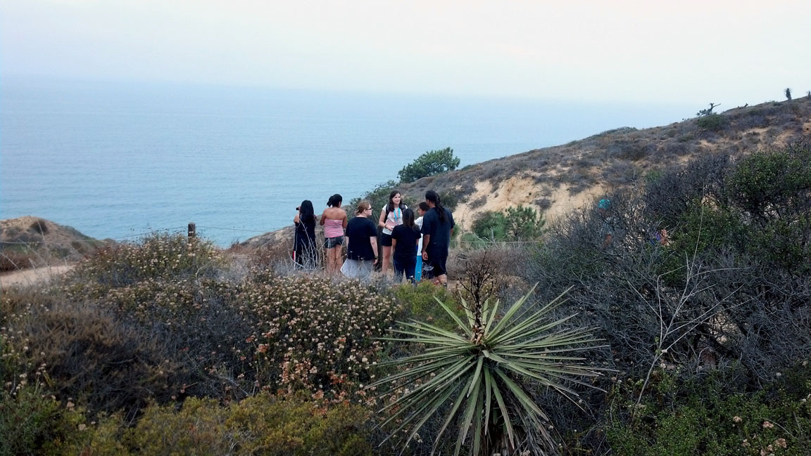
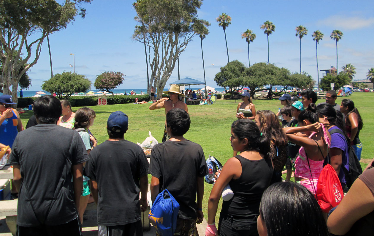
Meeting 4: Torrey Pines
History, mapping and land are often a mixture that has never been kind towards American Indians. Torrey Pines is located on the Pacific Coast near Del Mar and has many historical significance to the local Tribes that used this location as a summer home.
We took waypoints and examined the environment that remains as a reminder of the splendor of what the those Tribes would have seen hundreds of years ago.
Plus its just a cool hike and a good place to have fun at the beach.
|
| |
|
|
|
|
|
| |
|
|
|
|
|
| |
|
|
|
|
|
| |
|
|
|
|
|
| |
|
|
|
|
|
| |
|
|
Meeting 5 (SDSU-Shelters and Mapping) |
|
|
| |
|
|
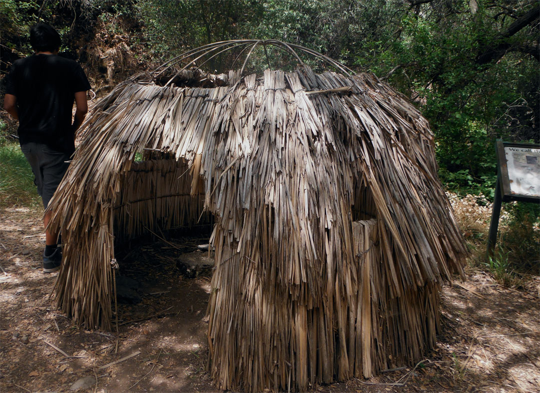
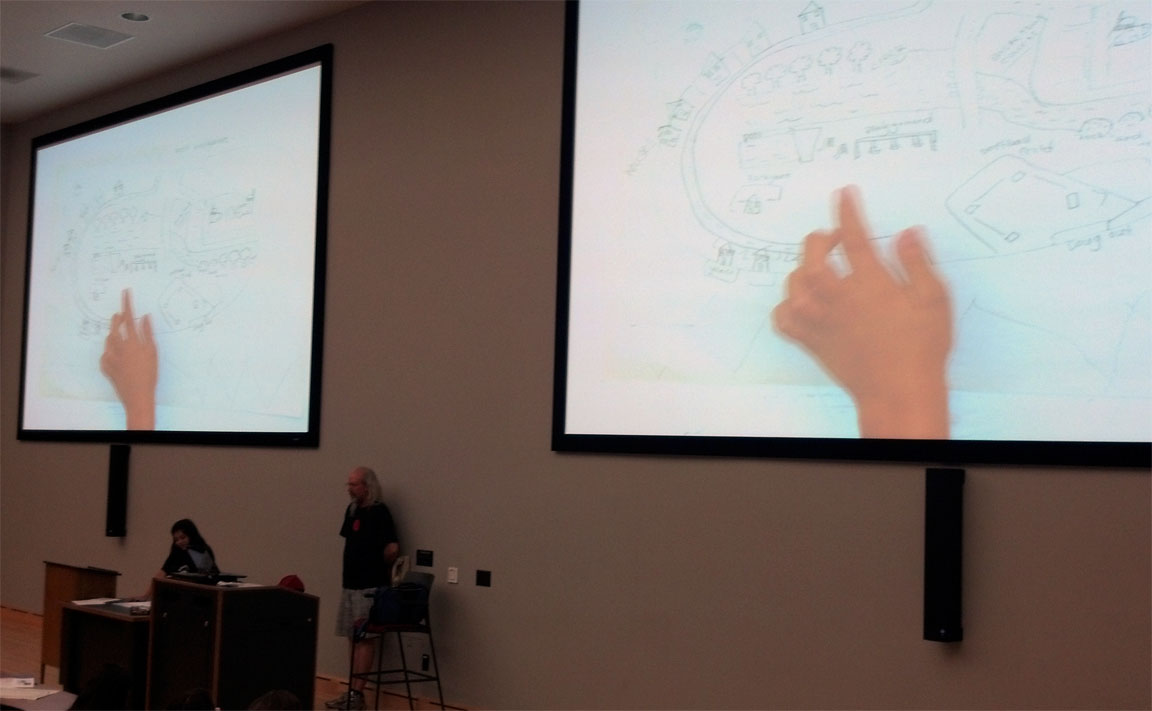
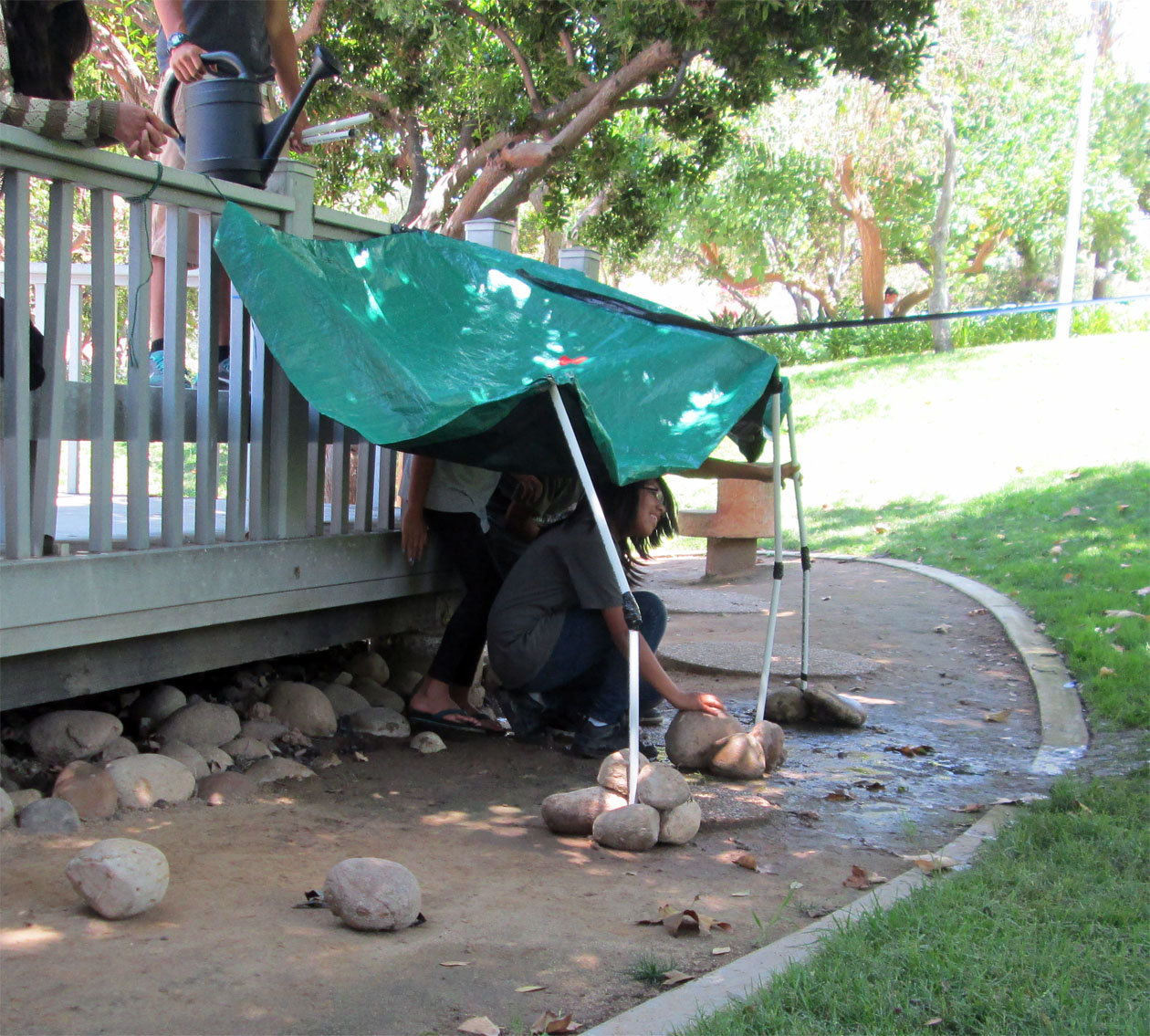
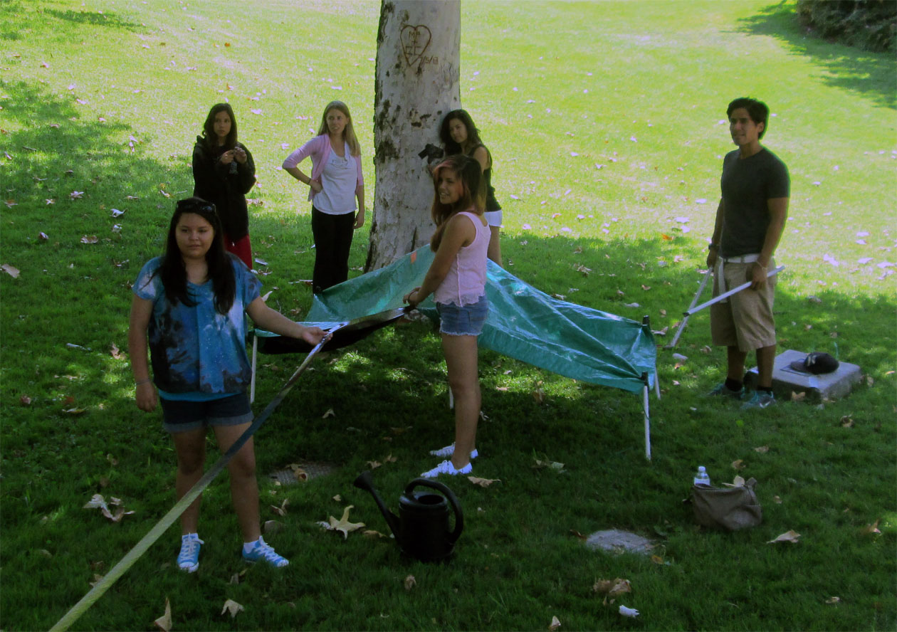
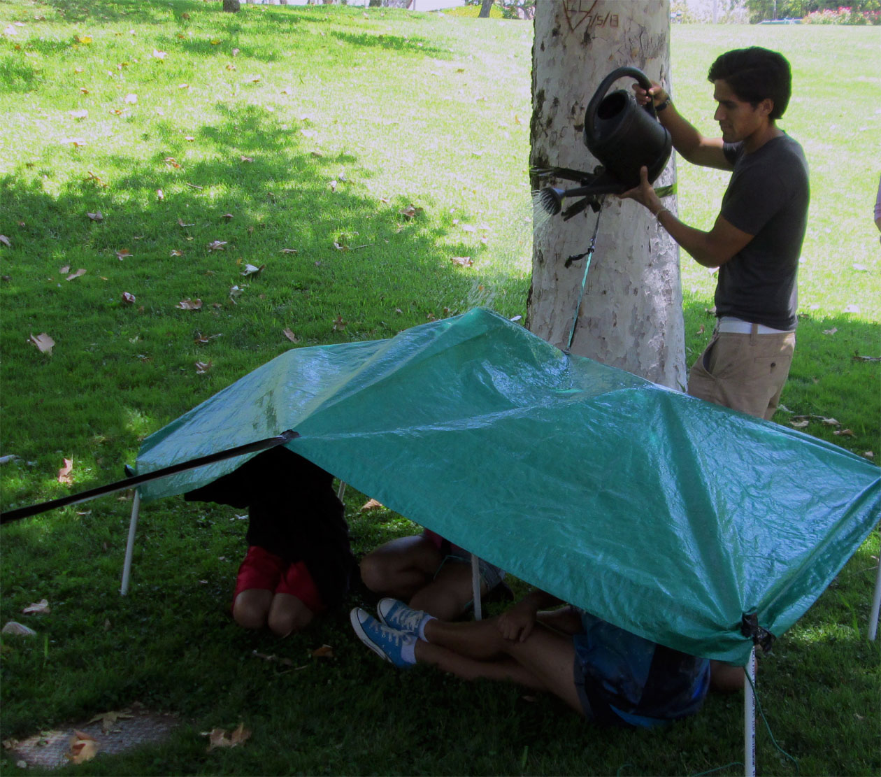
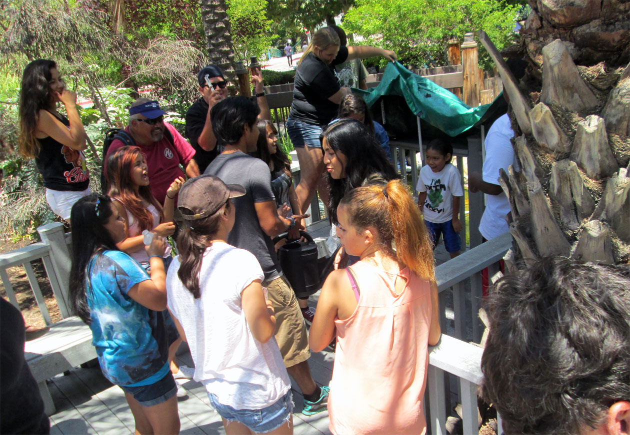
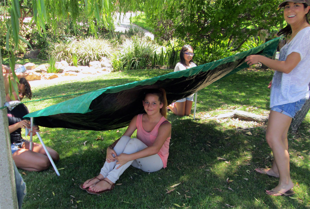
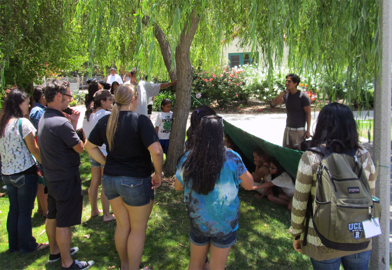
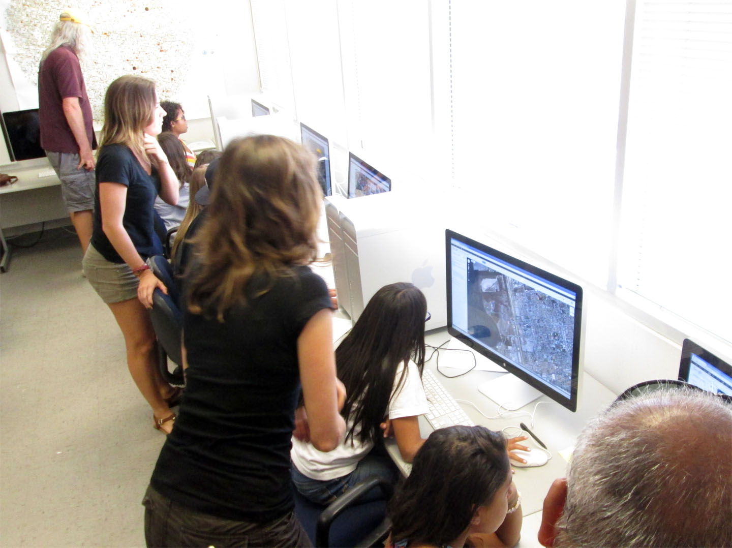
Meeting 5: Shelters and Mapping
Again more development for our teamwork skills among our students. It's never a perfect science but each group built a shelter in which the students were given supplies and told go at it. Some past the test and some didn't but most of all we saw how each group tried their best not to get wet (hence our teamwork exercise was successful).
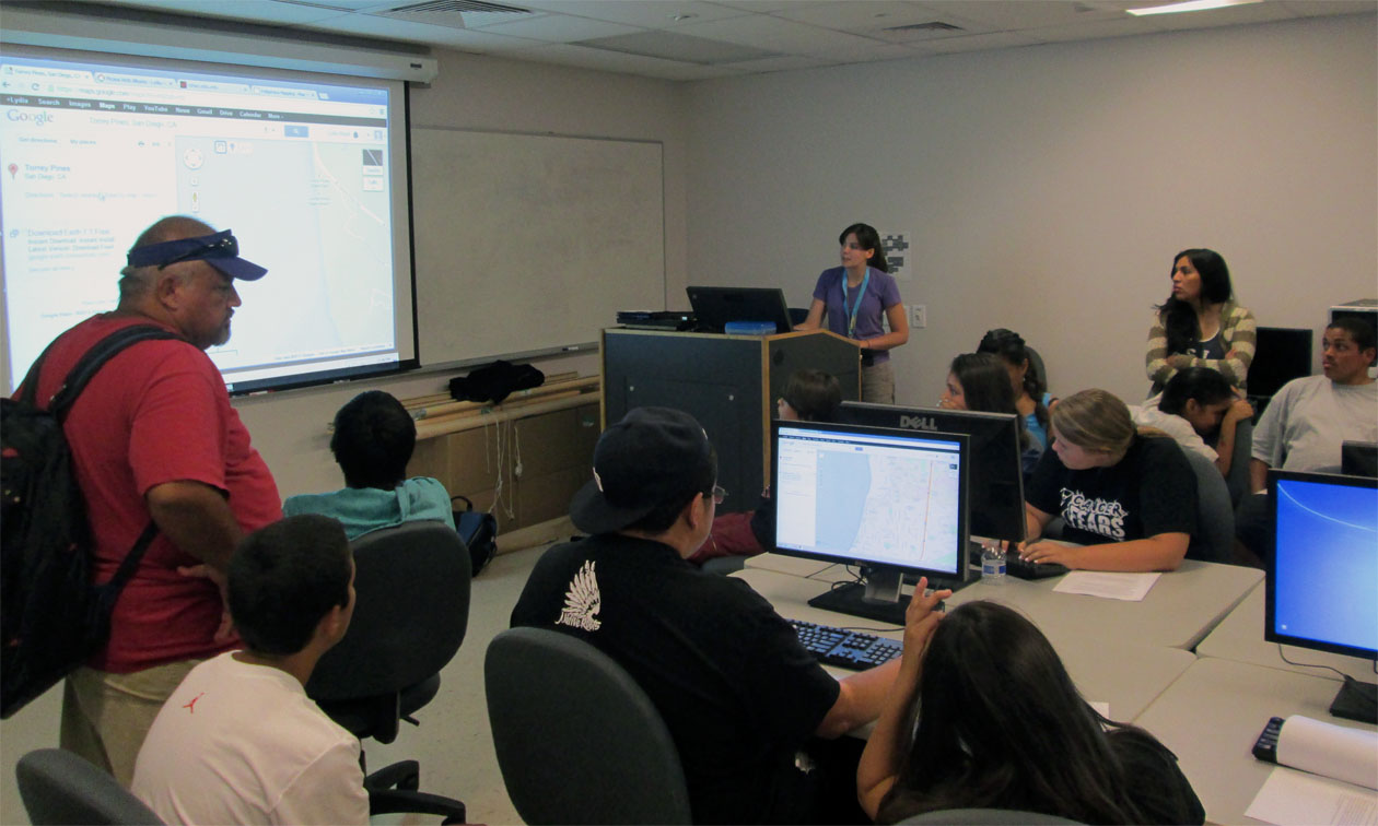
Geography research: We finally got into the lab to start developing our maps. Again, this was the halfway point and we were able tp build our first computer generated model based on our travels. We must also thanks the Dean of the Dept. of Geography for stopping by and giving us support. |
|
|
| |
|
|
|
|
|
| |
|
|
|
|
|
| |
|
|
|
|
|
| |
|
|
|
|
|
| |
|
|
| Meeting 6 (La Jolla Cove and Kayaking) |
|
|
| |
|
|
|
|
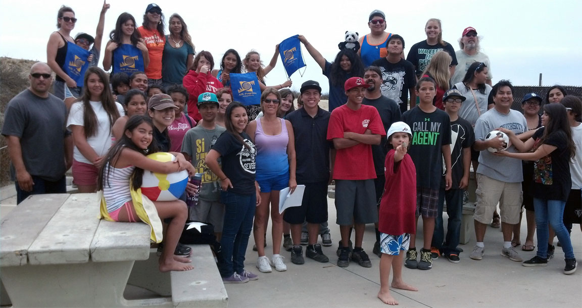
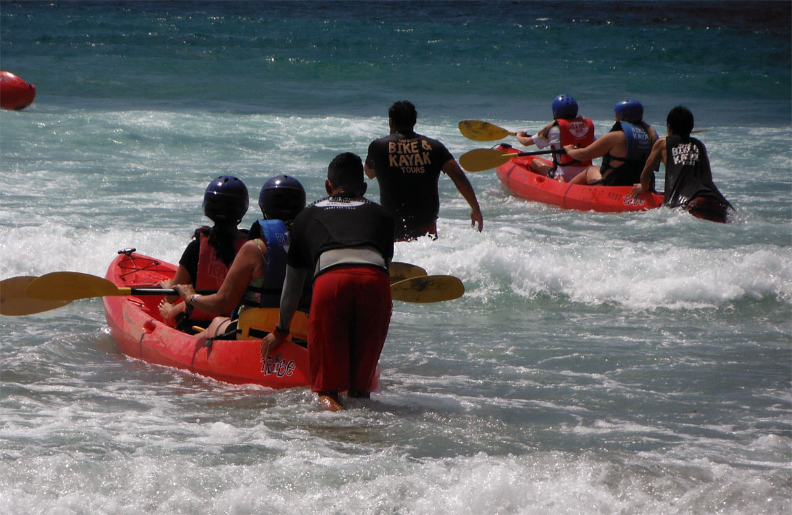
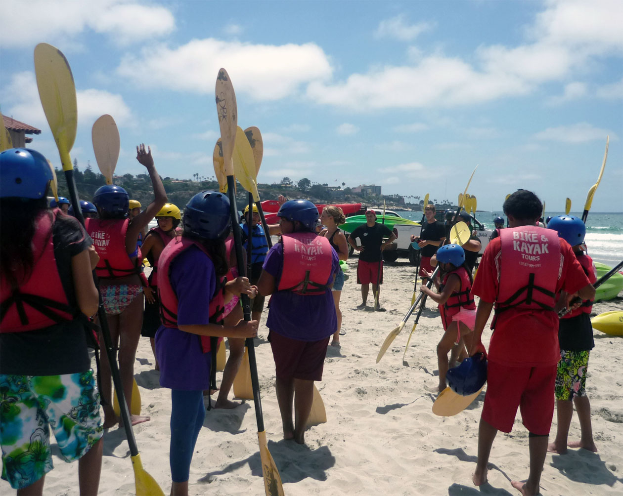
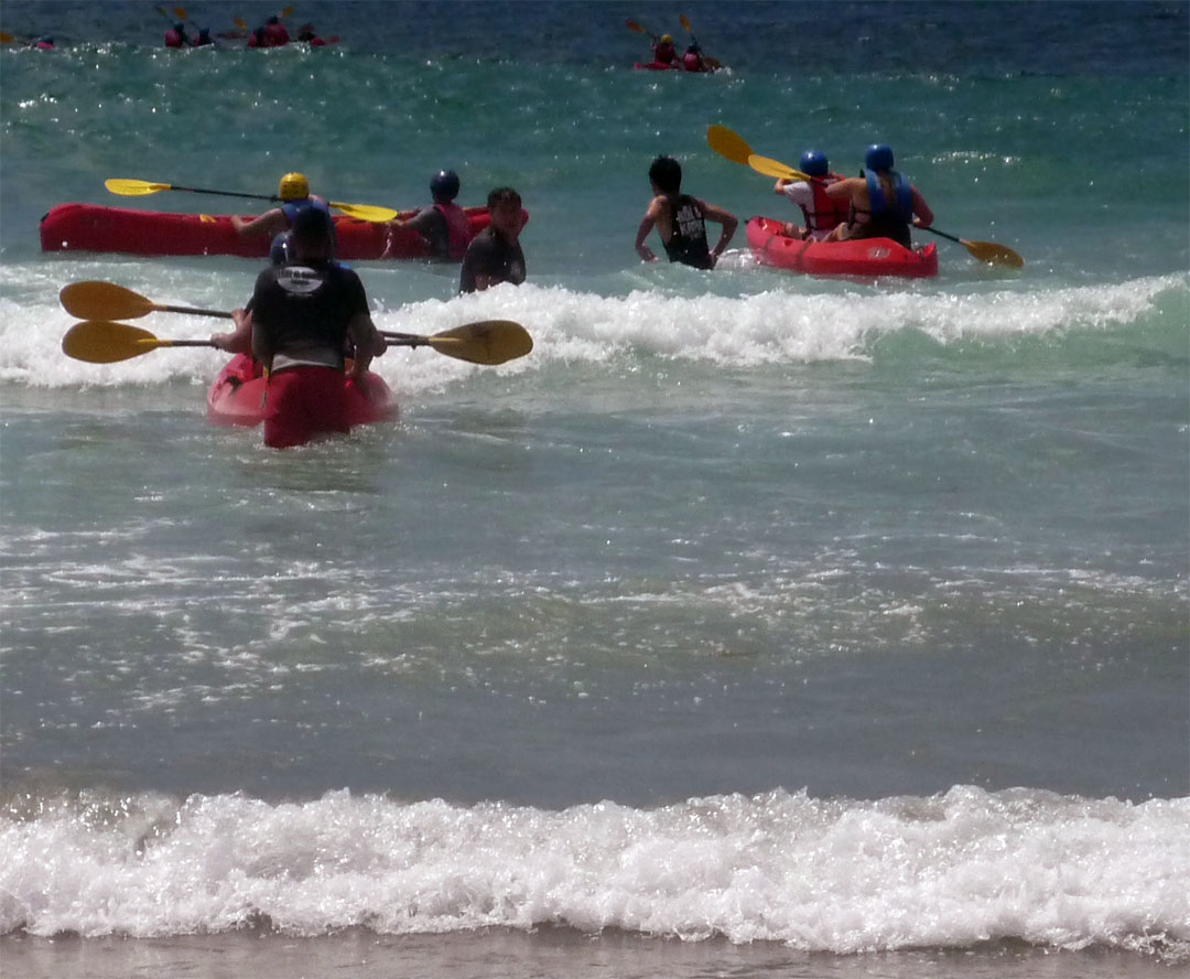
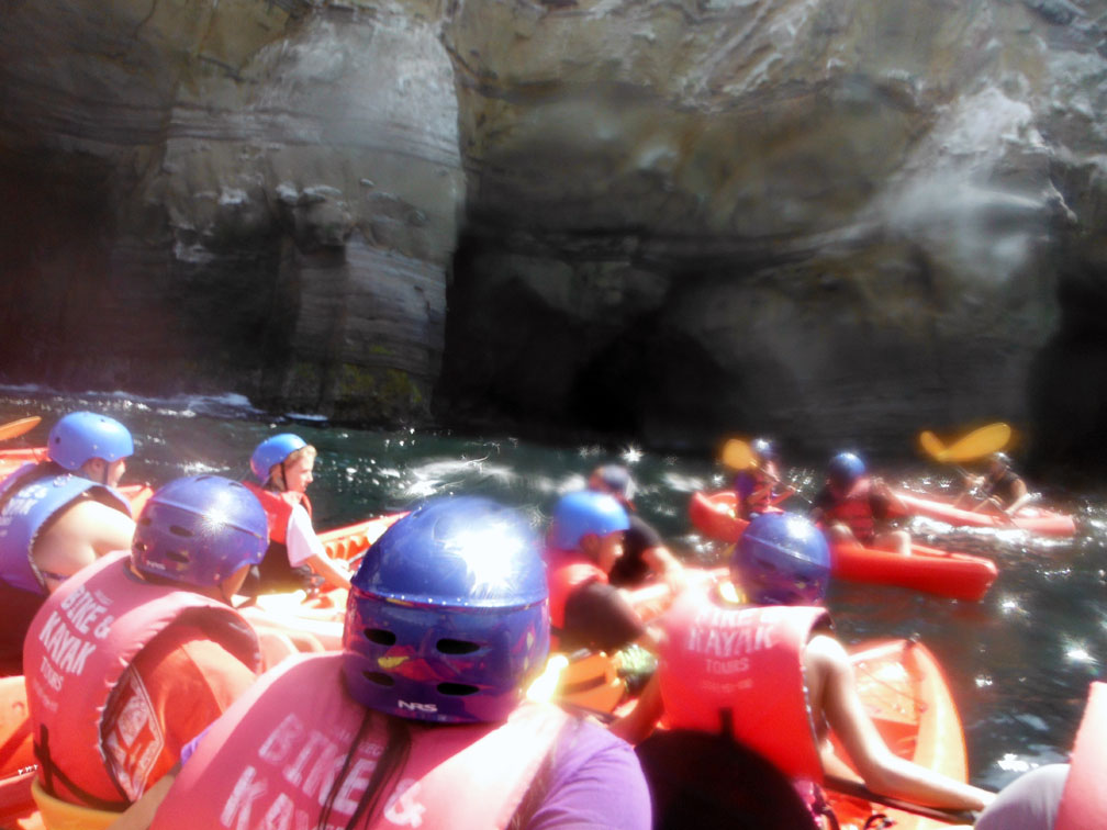
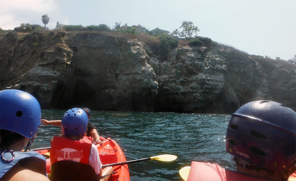
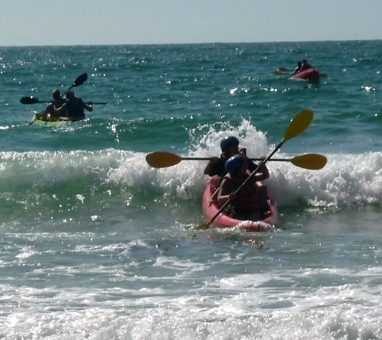
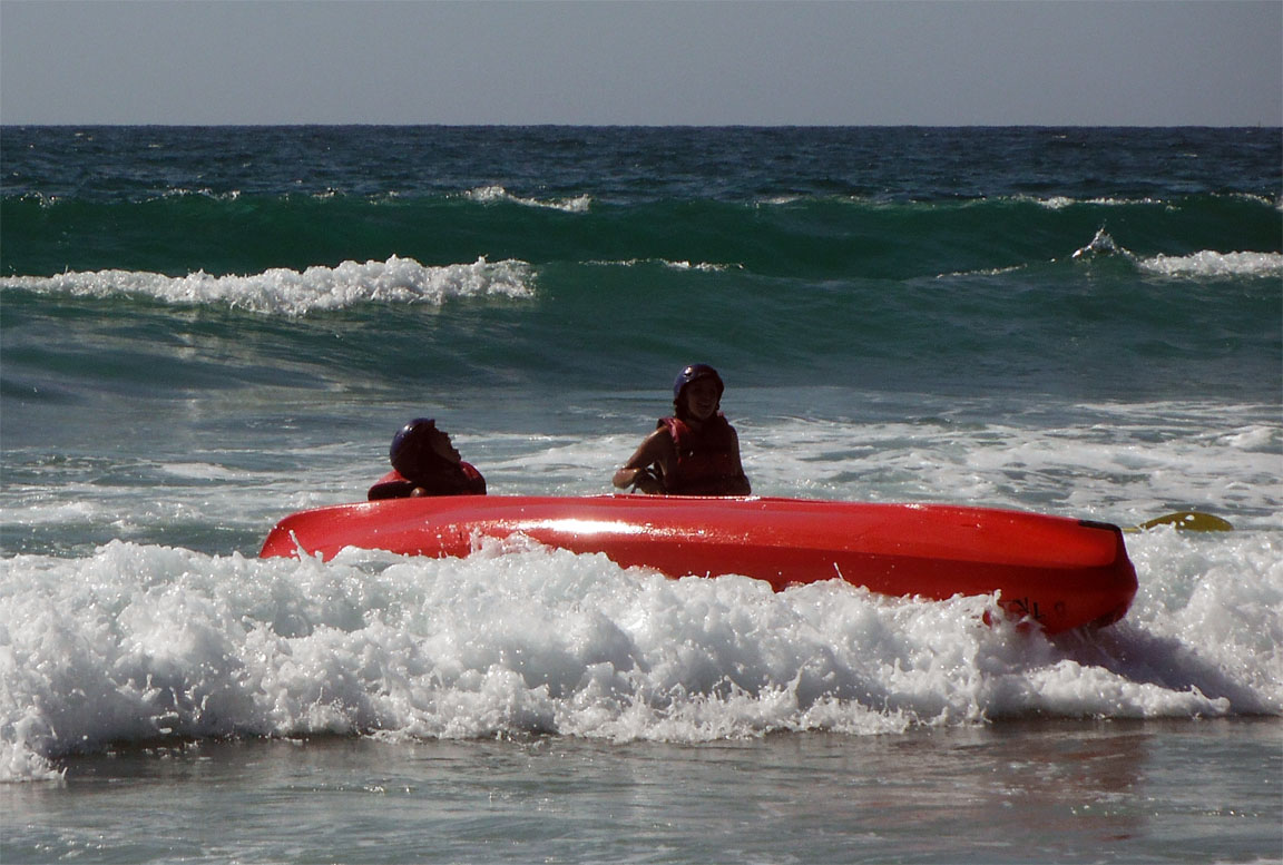
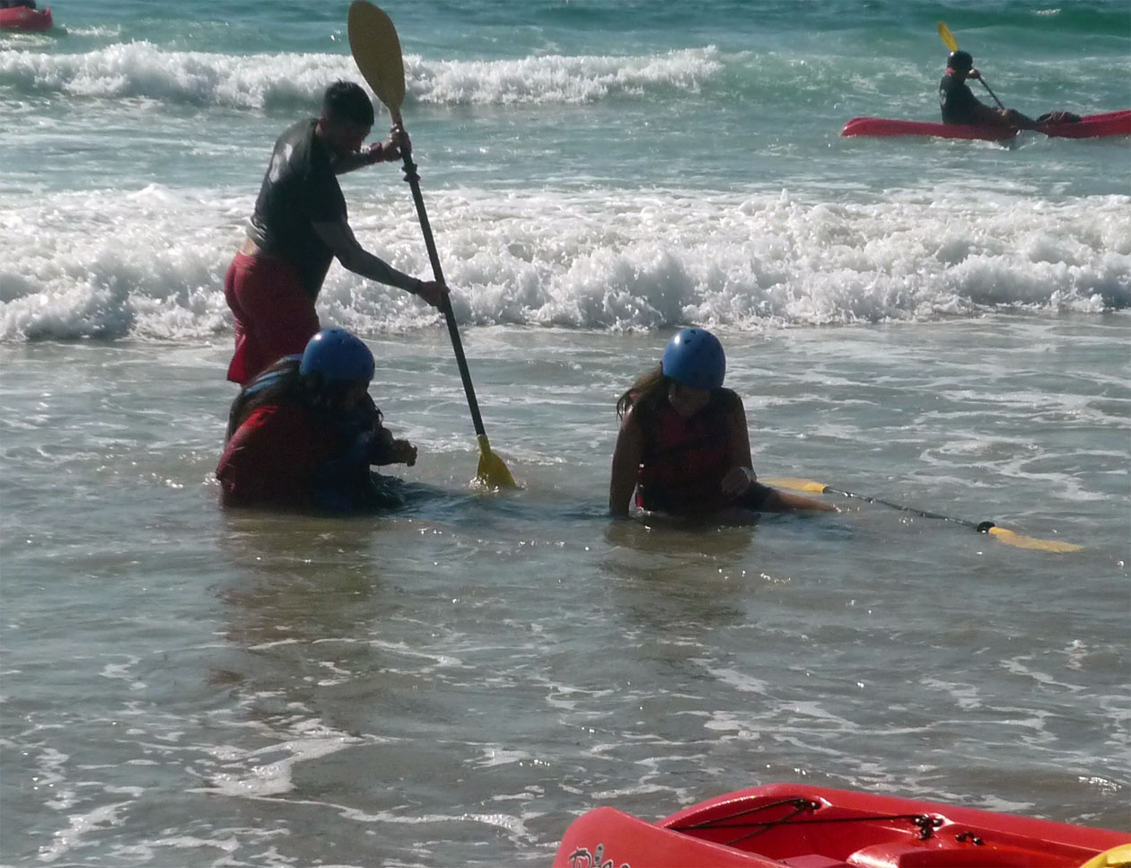
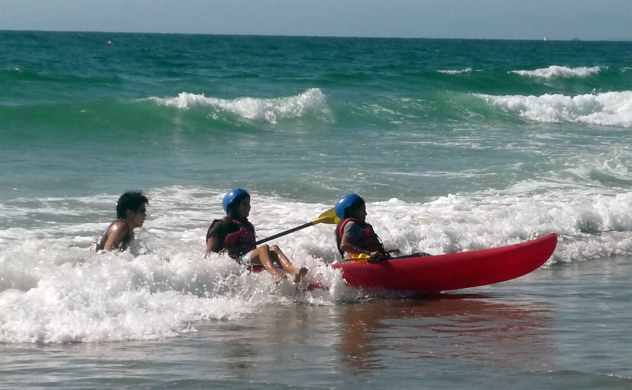
Meeting 6: Field trip: La Jolla Cove (Kayaking)
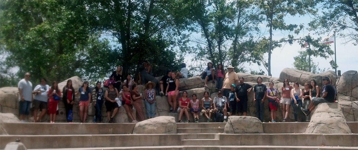
On this day, we wanted to go to locations that are protected as both an environmental preserve and as sacred site locations. La Jolla Cove is that location. Centuries prior, the Cove was shallow and many villages existed. Both conservationist and those interested in protecting ancient village sites joined together to have this location protected from commercial incursion. As for our mapping, we took gps mapping of the areas in which we kayaked and looked at existing maps that showed the continental shelving and imagined where such sites could have been. Again, this was also just a great exercise for us all.
|
| |
|
|
|
|
|
| |
|
|
|
|
|
| |
|
|
|
|
|
| |
|
|
|
|
|
| |
|
|
|
|
|
| |
|
|
Meeting 7 (Living Coast Discovery Center) |
|
|
| |
|
|
|
|
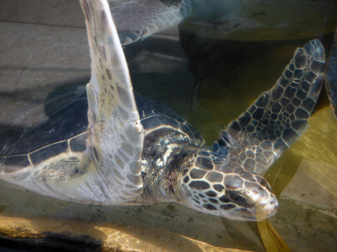
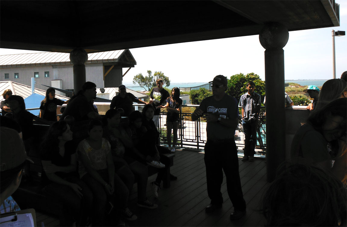
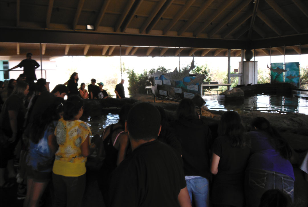
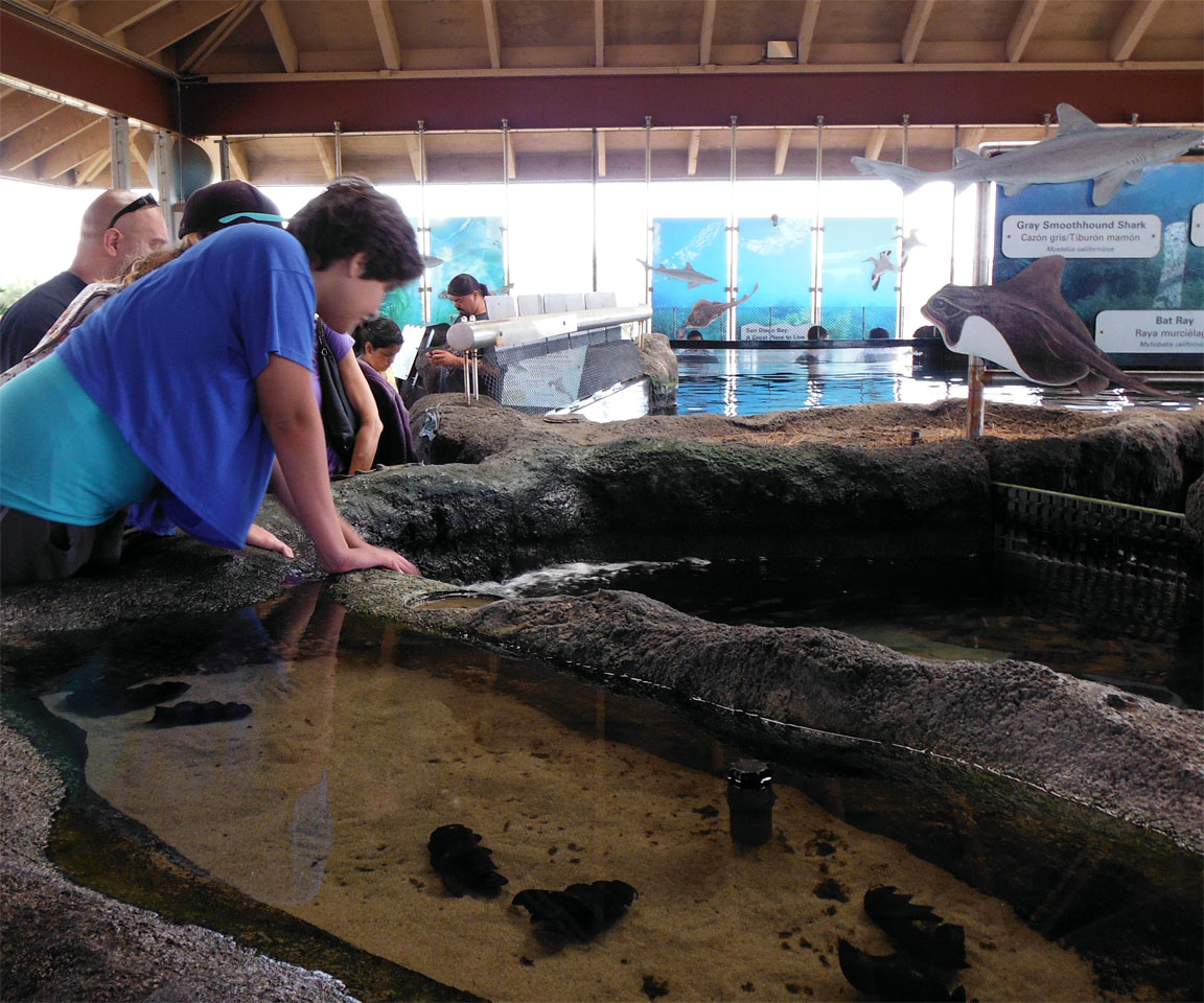
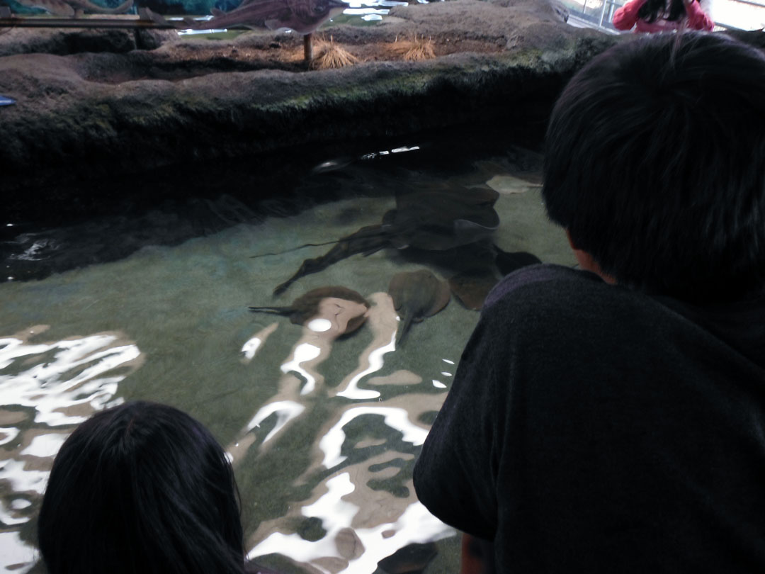
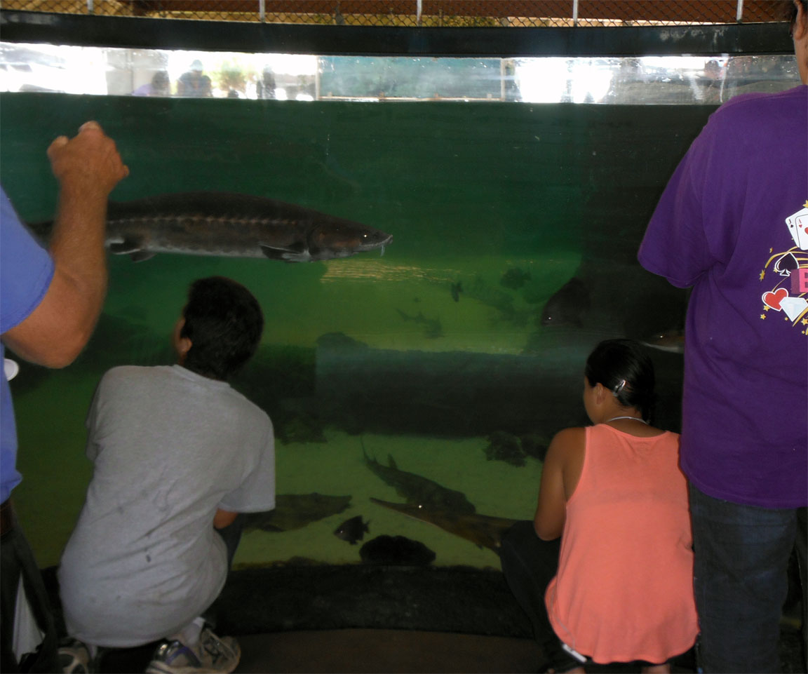
Meeting 7: Living Coast Discovery Center
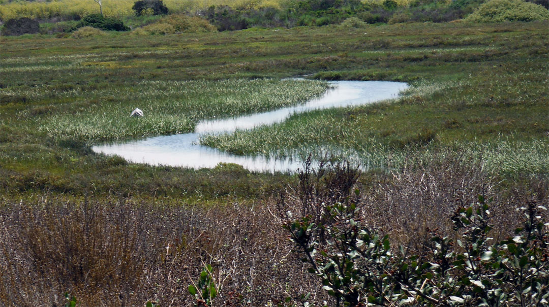
Part of exploring our environment and understanding land is actually finding out how the region is in its best preserved state. Here, the Living Coast Discovery Center has many remaining plant life and overall land that has been preserved which allows us to examine plant and sea life from the local area. Sometimes it is great to have an understanding of what the region was like prior to the urbanization of the area. |
| |
|
|
|
|
|
| |
|
|
|
|
|
| |
|
|
|
|
|
| |
|
|
|
|
|
| |
|
|
Meeting 8 Developing our Presentations |
|
|
| |
|
|
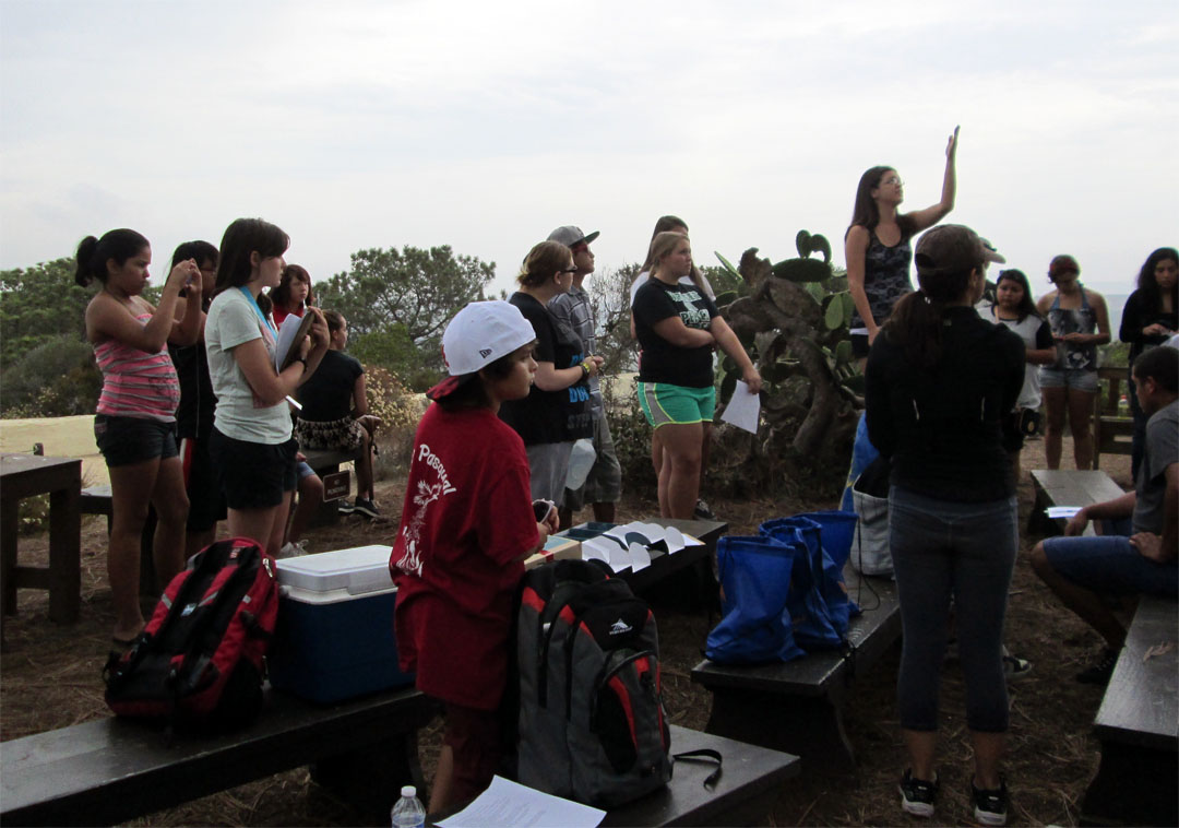
Meeting 8: Presentation Development
Today's workshop was based on time management. As college students, we try to fit everythin in: "How can I fit homework, sports, clubs, chores, and family time in one day?" This workshop gave strategies on managing time, planning and prioritizing. Mentors shared what time management methods work best for them.
Finally, this was the last day to develop our final presentations.
We went over what we accomplished this summer and developed our presentations for next meeting. |
|
|
| |
|
|
|
|
|
| |
|
|
|
|
|
| |
|
|
Meeting 9 Presentations |
|
|
| |
|
|
|
|
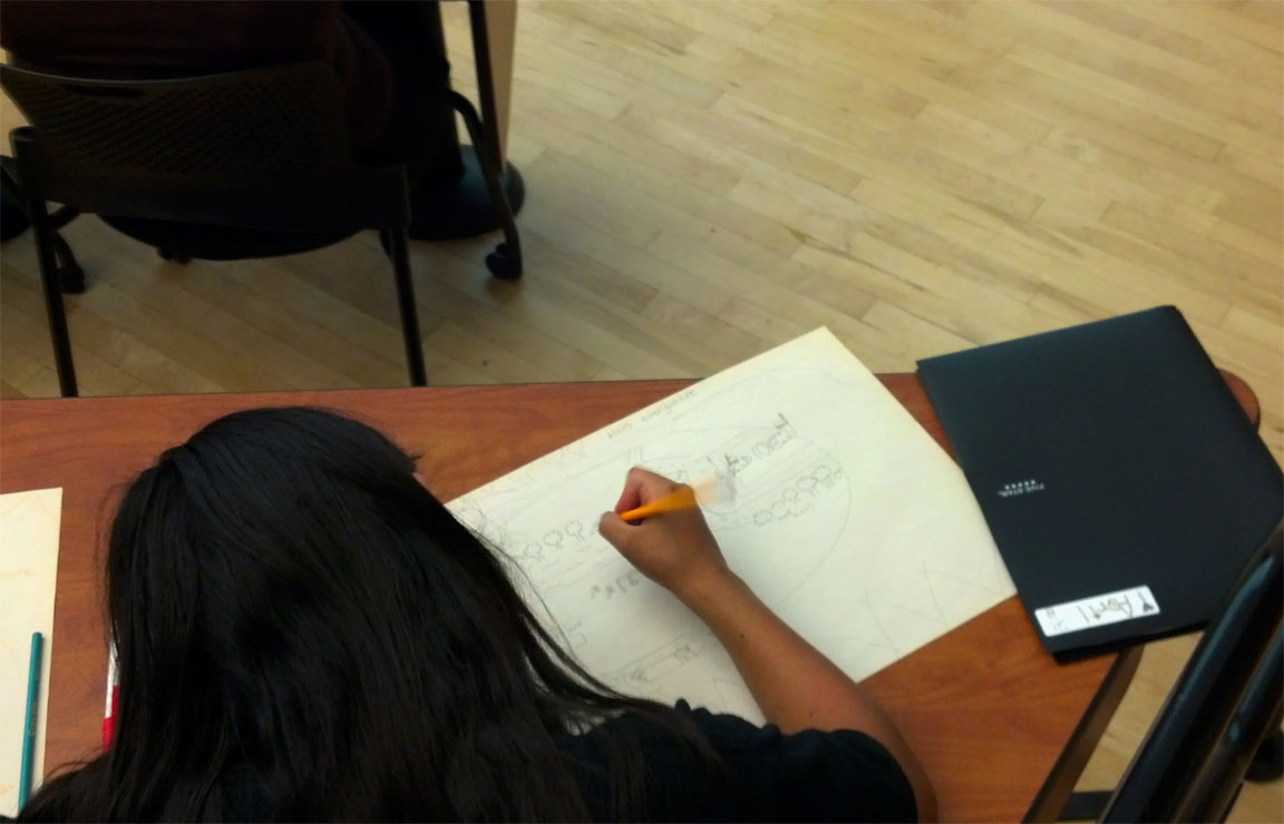
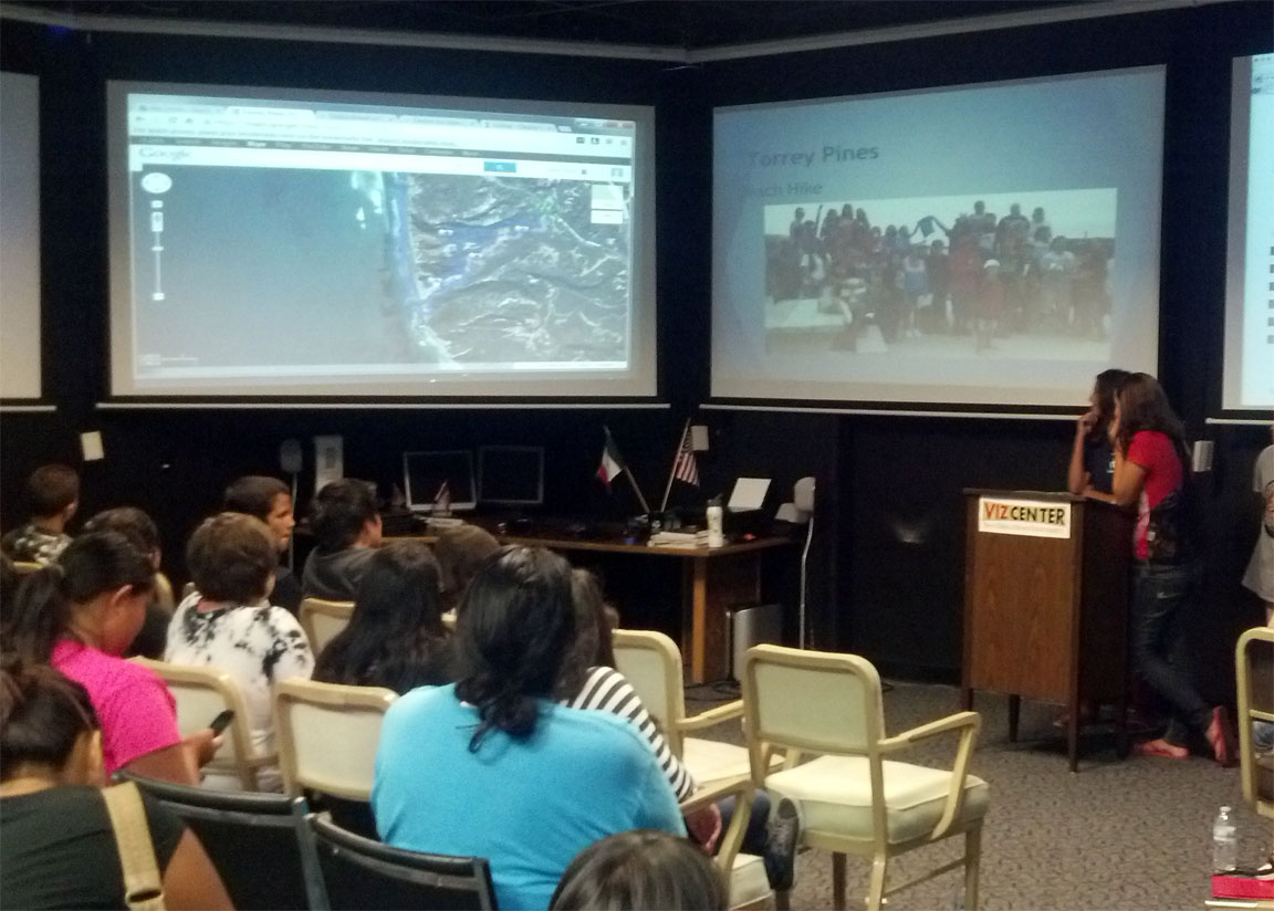
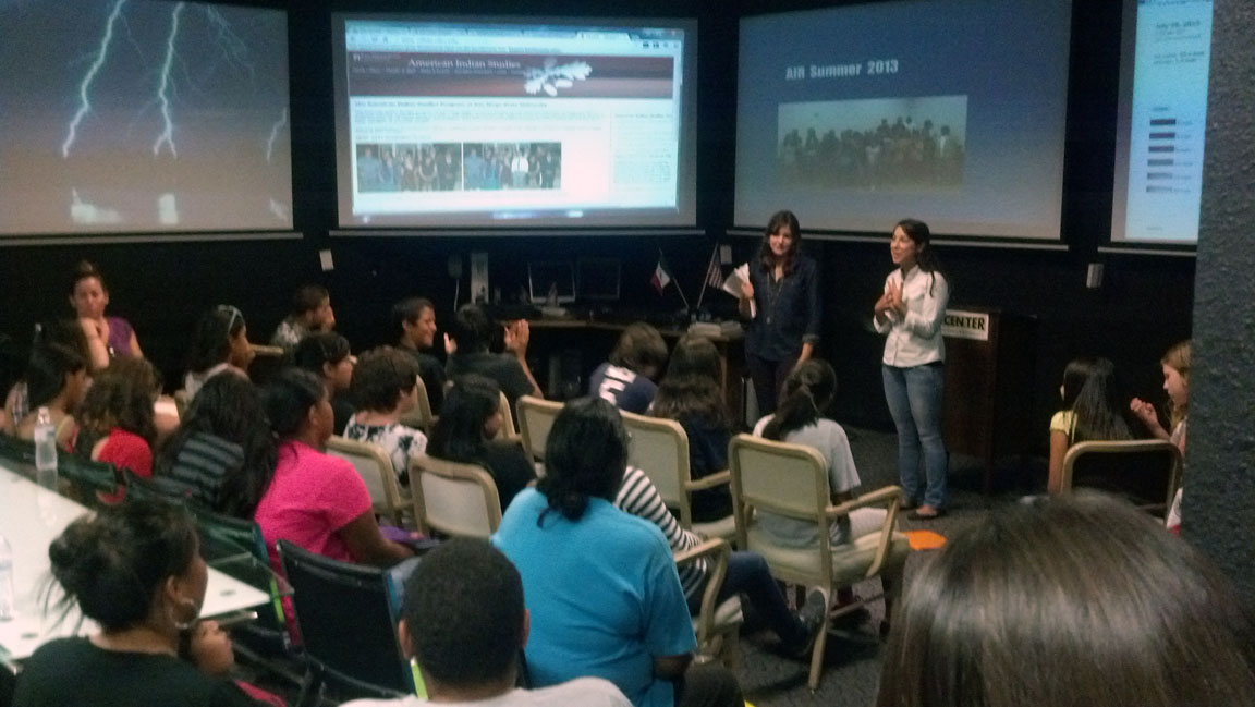
Meeting 9:Presentations
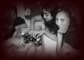
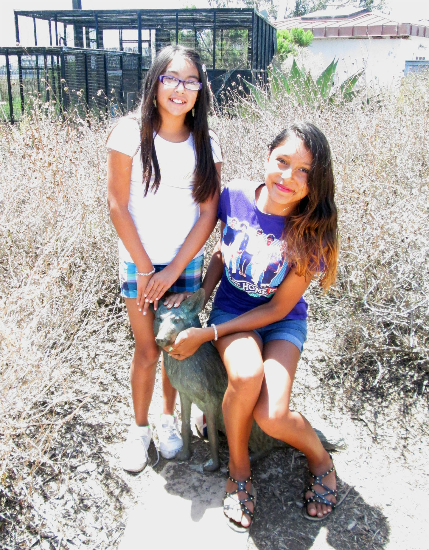
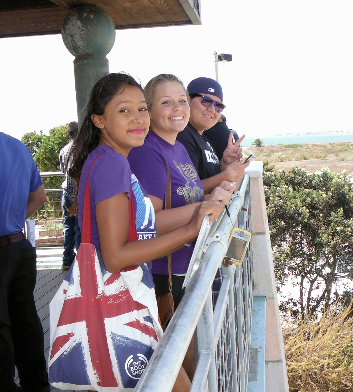
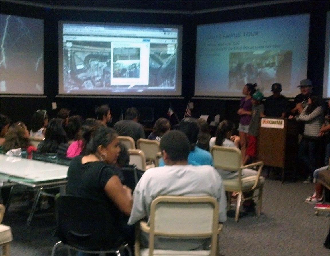
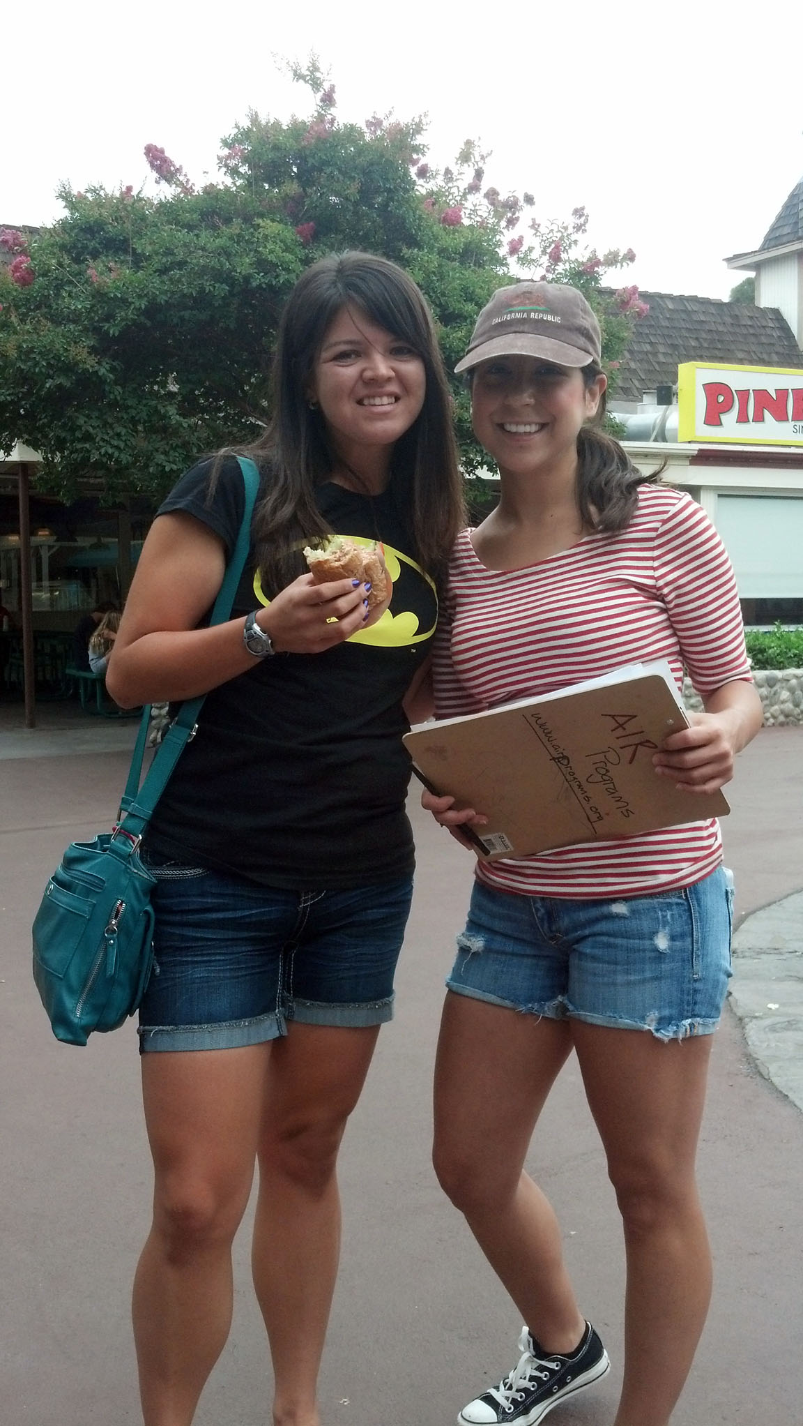
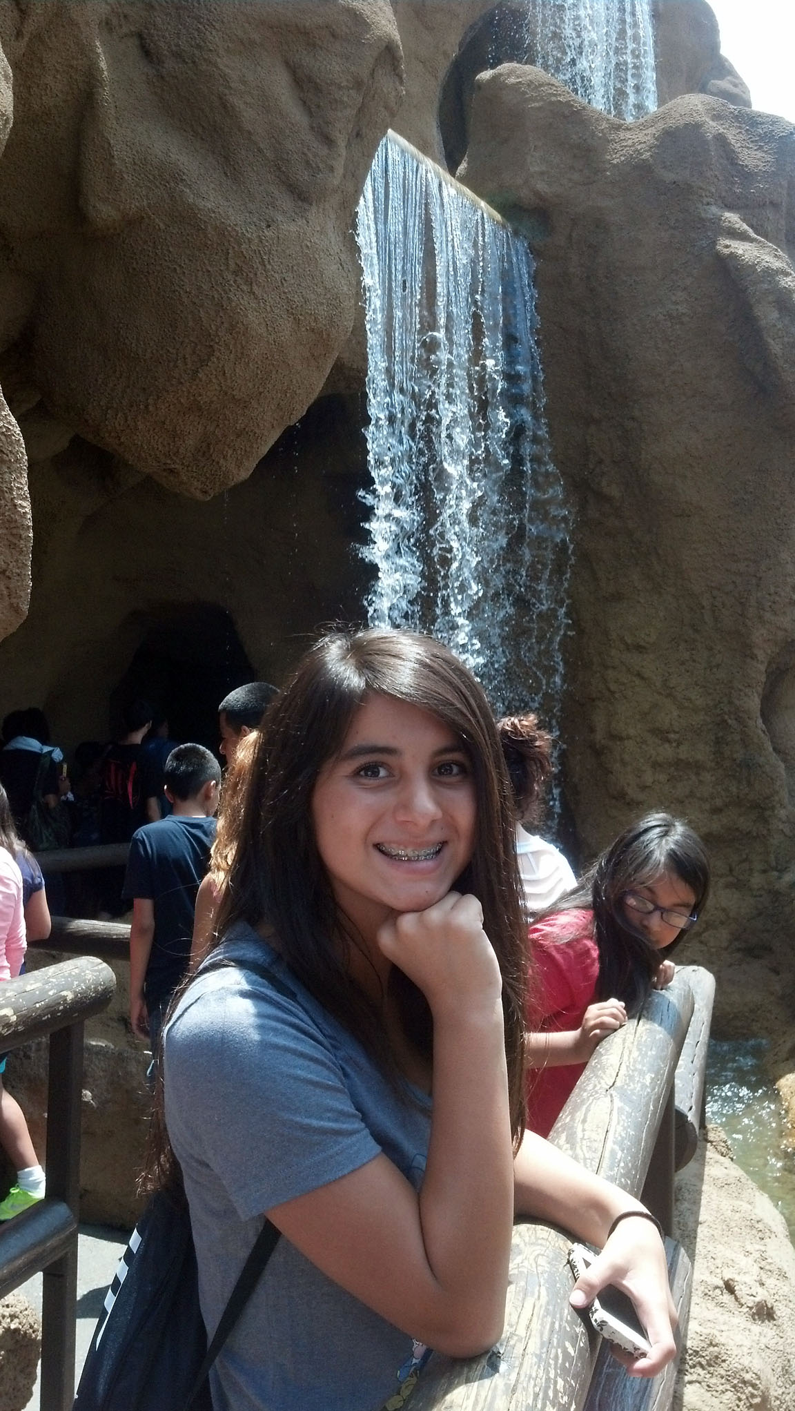
Here, we did the dreaded presentations. It can never be the most extensive presentations as we tried to accomplish so much within 8 meetings. The research that we did was great but it always takes many hours to have the fantastic presentations. The main point here is that they realized what research projects are and presentations that can derive from them. They understood or caught a small glimpse of what higher education is and some strategies they can take (from our mini-workshops). Overall we had a blast (just see from the pictures and expressions on their faces) this summer and (although we had little finances) our volunteers accomplished so much with our students. |
| |
|
|
|
|
|
| |
|
|
|
|
|
| |
|
|
|
|
|
| |
|
|
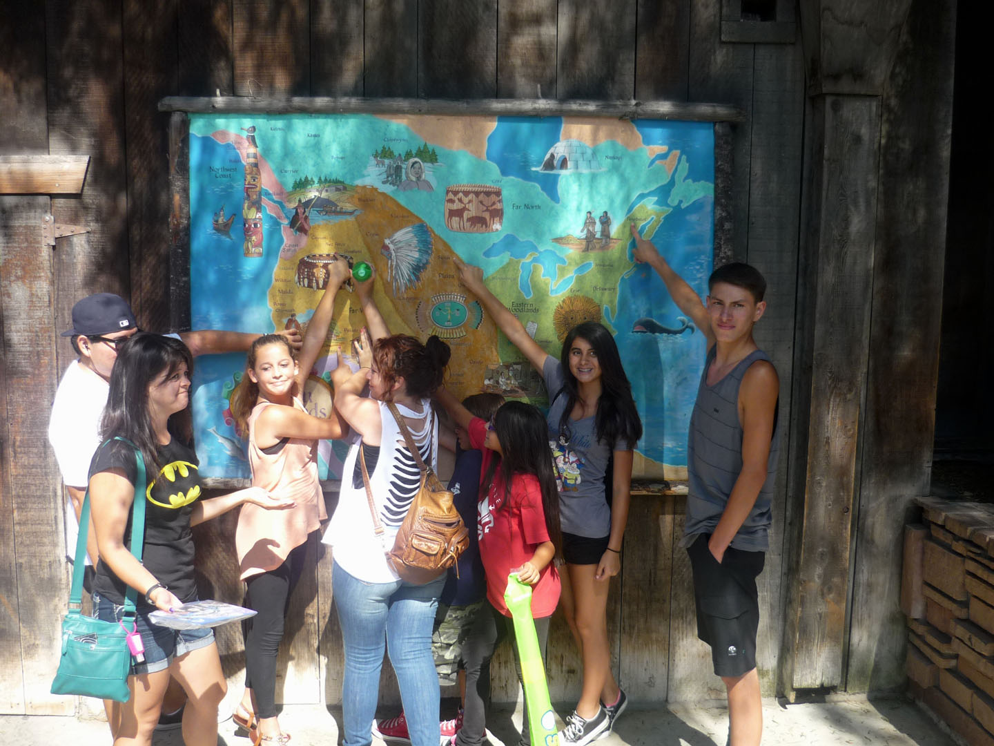
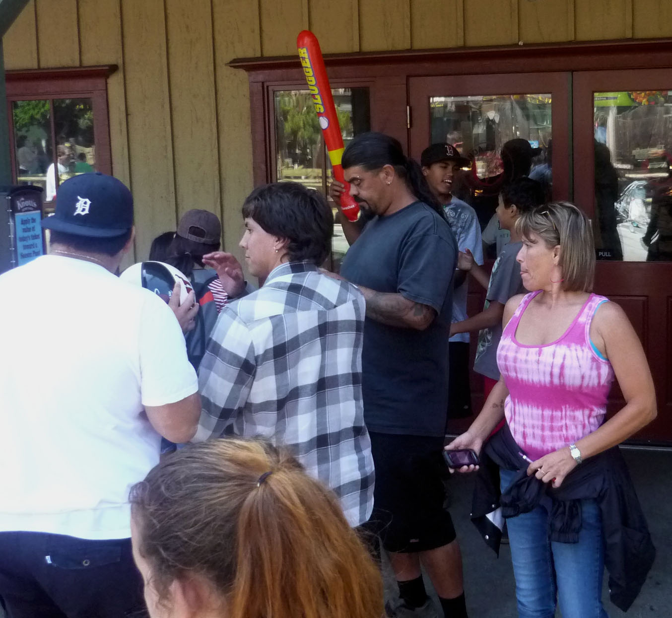
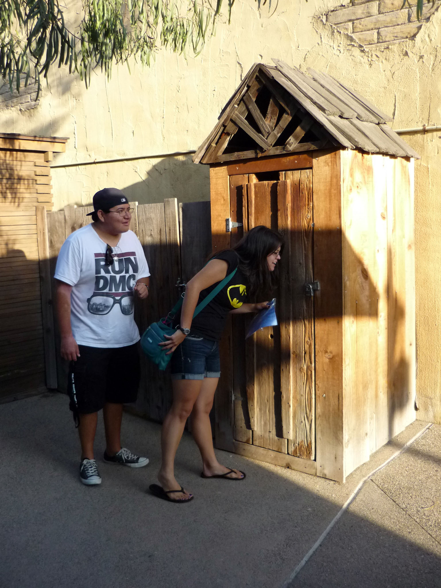
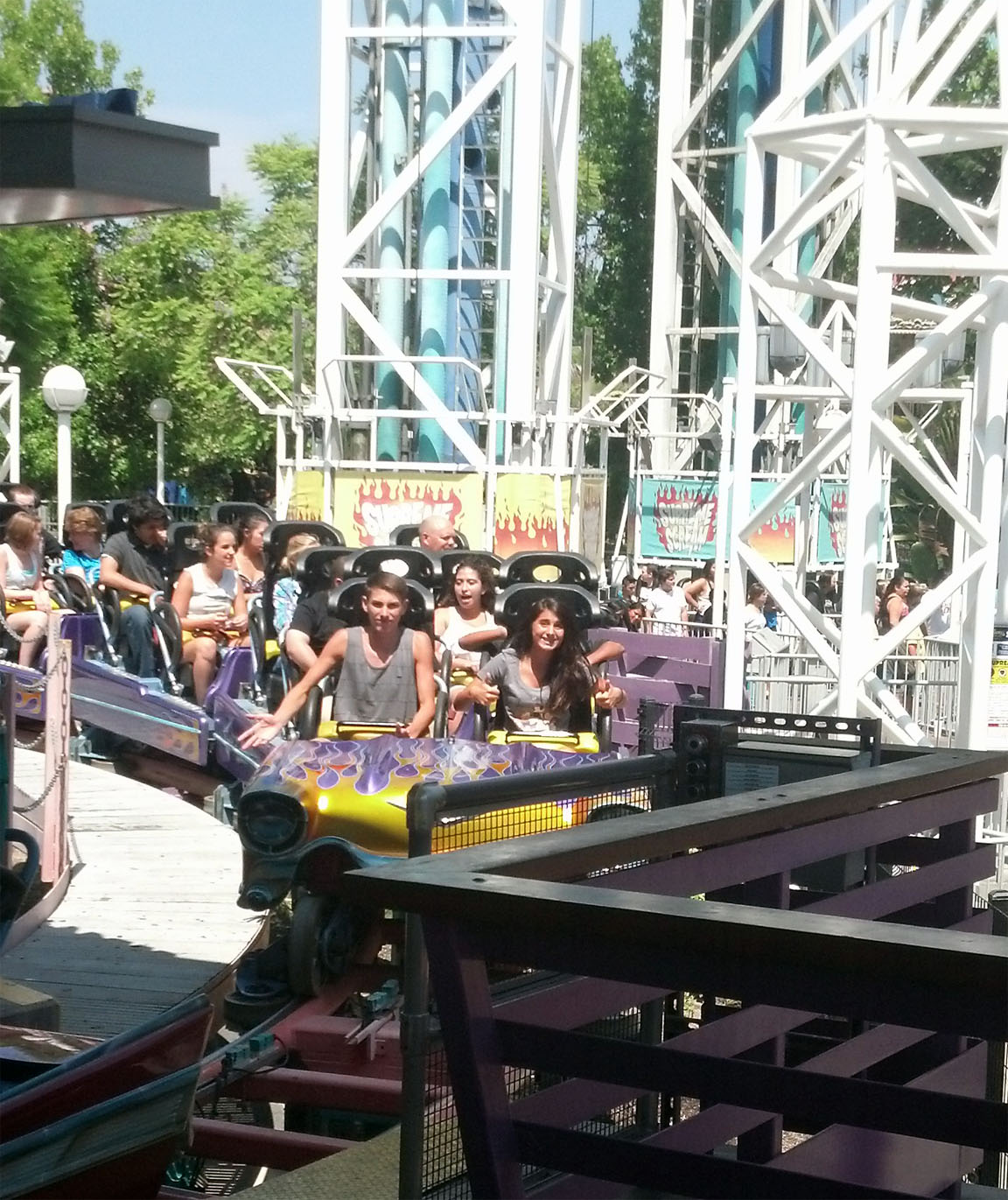
Meeting 10 We Did It-Time to Relax |
|
|
| |
|
|
|
|
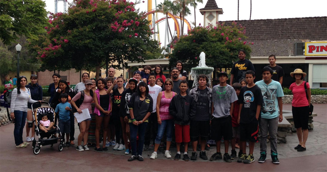
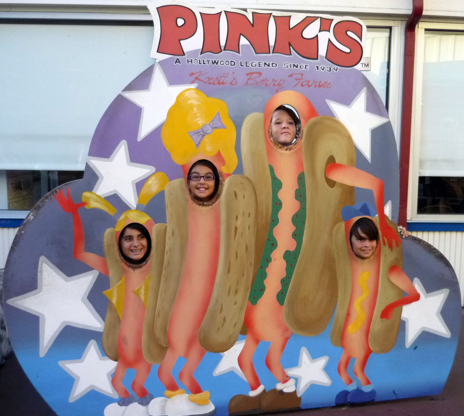
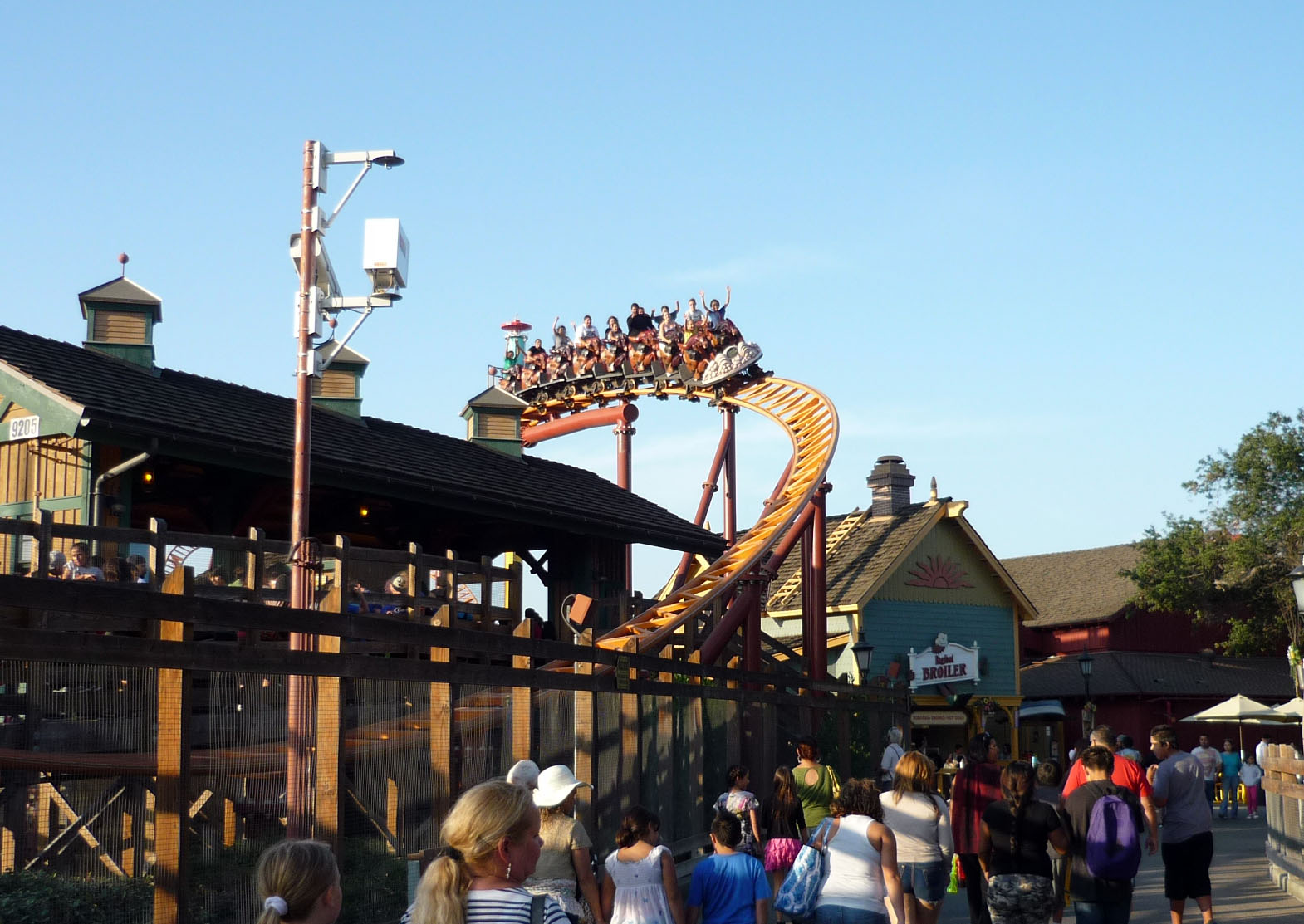
Meeting 10:Just had to relax
Summer is about fun and relaxing with friends. We made great friendships, we hope our students got something out of their experiance, and now it is time to catch some great rides at Knotts Berry Farm. Thanks to our AIR Programs Board for donating their monies to support this field trip. |
| |
|
|
|
|
|
|
|
|
|
|
|
|
|
|
|
|
|
| |
|
|
|
|
|